Los Angeles is expected to experience Clear Sky over the next 10 days
Here’s a quick snapshot of the main weather trends to help you plan ahead:
🌡️ Temperature: Average daily lows near 76°F reaching highs up to 83°F
🌧️ Highest rain chance: 5% chance expected on Sunday
☔ Rain condition: Rain is likely on Mostly Dry days during this period
Local Weather Insights & Packing Tips
Temperatures can vary up to 15–20°F between coastal areas (like Santa Monica) and inland valleys (like the San Fernando Valley). Check neighborhood-specific forecasts if you're traveling across the city.
Ocean breezes bring morning foggy layers (marine layer) that clear up by midday. Pack light layers — a fleece or jacket for coastal mornings/evenings and breathable attire for sunny afternoons.
Plan your daily commute, coastal visits, or outdoor trips across Greater Los Angeles with our extended 10-day meteorological forecast.
Because Southern California's microclimates cause temperatures to vary significantly between coastal areas (like Santa Monica) and inland valleys (like Pasadena), tracking extended trends helps you prepare for shifting conditions throughout the region.
🌡️ Temperature Trend
Over the next 10 days, daytime high temperatures across Los Angeles are projected to average between 76°F and 83°F.
Coastal vs. Inland Dynamic: Expect cooler, breezier conditions near the Pacific beaches due to the coastal marine layer, while inland valleys may feel 10°F to 15°F warmer during peak afternoon hours.
Daily Temperature Swings: Mornings and evenings will stay comfortable, but afternoon solar heating will cause noticeable temperature spikes. Wearing layered clothing is recommended if you are transitioning between coastal and valley neighborhoods.
🌧️ Rainfall Outlook
Rain chances will about 5% over the 10-day period, with the highest chance of rain expected on Thursday.
A higher precipitation percentage indicates greater likelihood of rainfall across the basin, not necessarily heavy downpours.
Rain can quickly impact traffic on major corridors like the I-5 and I-405. If you are planning outdoor sightseeing at Griffith Observatory or trip days to Venice Beach, prioritize days with lower rain probabilities.
📅 Use the 10-Day Forecast to Plan Ahead
Forecast accuracy naturally decreases further into the 10-day window.
We recommend using this 10-day trend for general planning and checking our Hourly Forecast 24 to 48 hours prior to your planned events for real-time adjustments.
Data & Verification Note: Weather data updated automatically every hour from National Oceanic and Atmospheric Administration (NOAA) & National Weather Service (NWS) feeds. Reviewed by our meteorology team.
The UV Index in Los Angeles is expected to peak at 7 today, putting the region in the High exposure category.
According to U.S. Environmental Protection Agency (EPA) guidelines, unprotective skin can burn in as little as 15 to 20 minutes under these conditions.
How to stay safe in Los Angeles today:
Peak Radiation Hours: UV intensity is strongest between 10:00 AM and 4:00 PM. If you are heading outdoors to Santa Monica Pier or downtown LA, try to seek shade during midday.
Recommended Protection: Apply a broad-spectrum SPF 30+ sunscreen every 2 hours, wear UV-blocking sunglasses, and consider a wide-brimmed hat.
Why Check the 10-Day Weather Forecast in Los Angeles?
A 10-day weather forecast for Los Angeles provides an essential roadmap for navigating Southern California’s uniquely diverse microclimates.
Because conditions can vary dramatically from coastal fog in Santa Monica to scorching heat in the San Fernando Valley, tracking extended weather trends helps you make smarter decisions.
Here is how an extended forecast helps you prepare:
Master L.A.’s Microclimates & Coastal Layers: Plan beach trips, hiking in Griffith Park, or sightseeing around Hollywood by monitoring marine layer fog ("June Gloom"), Santa Ana winds, and UV index shifts before heading out.
Prepare for Extreme Temperature Drops: L.A. is famous for warm, sunny afternoons followed by rapid temperature drops at night, especially near the coast and foothill areas. Looking 10 days ahead helps you layer clothing appropriately and manage home energy use.
Plan Travel & Traffic Around Wet Weather: Rain in Los Angeles significantly impacts highway traffic on the I-5, 405, and 101. Tracking multi-day precipitation trends allows you to adjust commute schedules, weekend road trips, or outdoor event setups well in advance.
Stay Ahead of Seasonal Risks: Monitor developing red flag warnings, heatwaves, or sudden winter storms that could alter fire risks or outdoor work safety across Los Angeles County.
Note: Forecasts beyond 3–5 days naturally evolve as atmospheric models refresh. We continuously integrate updated meteorology data from trusted sources like the National Weather Service (NWS) to give you the most reliable 10-day outlook.
Check local weather in Los Angeles forecast below for real-time temperature, wind, and air quality metrics.
Extreme Weather Patterns in Los Angeles
By Weather365 Meteorological Team | Medically & Technically Reviewed by NWS Los Angeles Data Feeds | Updated: September 2026
Los Angeles is renowned for its mild Mediterranean climate, yet its unique topography - spanning coastal basins, dense urban corridors, and steep mountain ranges creates microclimates prone to high-impact weather hazards.
Based on historical data from the National Weather Service (NWS) Oxnard/Los Angeles and NOAA, the region faces four primary meteorological threats each year.
1. Extreme Heat Waves & Microclimate Variations
While coastal communities like Santa Monica benefit from marine layer cooling, inland basins such as the San Fernando and San Gabriel Valleys frequently experience temperature spikes exceeding 100°F (38°C) during summer heatwaves.
Health & Safety Tip: Stay hydrated, avoid outdoor activities between 11:00 AM and 4:00 PM, and utilize local cooling centers designated by Los Angeles County Public Health.
2. Santa Ana Winds & Wildfire Risks
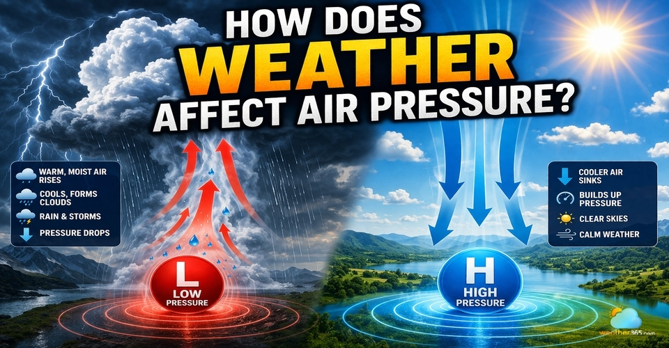
During autumn and winter, high-pressure systems over the Great Basin force offshore gusty winds known as Santa Ana Winds.
Passing through narrow mountain passes, these winds accelerate, drop relative humidity below 10%, and rapidly dry out chaparral vegetation.
Red Flag Warnings: Issued when gale-force gusts combined with dry vegetation elevate fire spread risks.
Major corridors like the San Gabriel Mountains and Malibu coastal bluffs require heightened vigilance and readiness for immediate evacuation orders from Cal Fire.
3. Atmospheric Rivers & Flash Flooding
During winter storm cycles, Atmospheric Rivers, plumes of dense Pacific moisture can dump inches of rain within hours.
Burn Scar Risks: Steep mountain terrain and recent wildfire burn scars (such as those in the Angeles National Forest) are exceptionally vulnerable to rapid mudslides, debris flows, and flash floods that disrupt major thoroughfares like I-5 and PCH (Pacific Coast Highway).
Top Stories
Explore our series of 10-Day Weather Forecast articles, covering extended forecast tools, atmospheric processes, and notable severe weather events. Read the most relevant and most-viewed articles below.
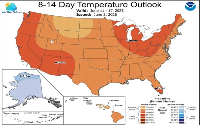
Meteorologists predict a record breaking heat in the US could persist for weeks, with the West and East Coast facing prolonged periods of unusual warmth.
Are you sweltering in the hot summer? Let's explore essential heat safety tips to beat the heat and protect yourself and your family as you enjoy the sunshine.
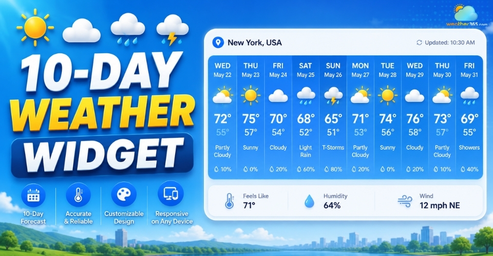
Looking for a 10-day weather widget? Discover the key components to look for, compare 7-day vs. 10-day forecasts, and find the best widget providers today.