




Florida Subtropical Storm Kyle Threatens Coastal Areas


Florida subtropical storm concerns are growing as a developing Atlantic low-pressure system could become Subtropical Storm Kyle this weekend. Heavy rainfall, coastal flooding and dangerous surf are already threatening parts of Florida, with impacts potentially spreading north along the Southeast Coast. Here’s the latest update!
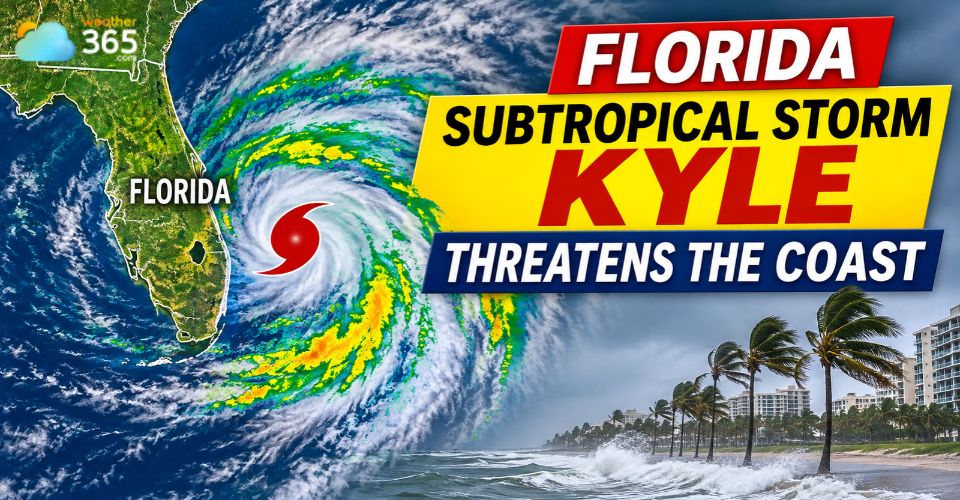
Florida subtropical storm Kyle
Florida Subtropical Storm Kyle: Latest Updates
The National Hurricane Center (NHC) is monitoring a non-tropical low-pressure system expected to develop near the northwestern Bahamas on Friday, November 20.
As it moves north or northeast near the Southeast coast, the system could acquire subtropical or tropical characteristics and become Subtropical Storm Kyle.
As of its November 19 outlook, the NHC gave the system a 60% chance of tropical or subtropical development over the next seven days.
However, its formation, strength, and exact track remain uncertain.
Warm waters along the Gulf Stream could provide enough energy to support further development.
Forecast models suggest the system may move offshore of Florida and Georgia before tracking toward the Carolinas.
Even if it does not become a named storm, it could still produce strong winds, heavy rain and coastal flooding.
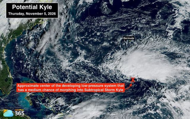
A low-pressure system could become Florida subtropical storm Kyle (Photo: NOAA)
Heavy Rain and Coastal Flooding Threaten Florida
Florida is already dealing with severe flooding after several days of persistent rainfall.
The Fort Lauderdale area received nearly 17 inches of rain within 48 hours, while Fort Lauderdale and West Palm Beach recorded their wettest November on record, according to preliminary National Weather Service data.
The flooding threat has since shifted north toward the Space Coast.
Continue reading: Florida flood threat
In Brevard County, rising water inundated roads and homes, prompting rescue operations for residents and animals.
The St. Johns River near Cocoa also rose above its previous record flood level set in 1953.
The Weather Prediction Center placed parts of east-central Florida, including Brevard and Volusia counties, under a High Risk of excessive rainfall for Friday.
Already saturated ground and additional downpours could increase the risk of flash flooding and river flooding through the day.
Check Weather365 for current weather conditions and rainfall forecasts in Melbourne, Florida, to monitor the ongoing flood threat.
Coastal communities also face additional risks from strong onshore winds and rising water levels.
High tides could worsen flooding in low-lying areas, while rough surf may contribute to beach erosion and hazardous marine conditions.
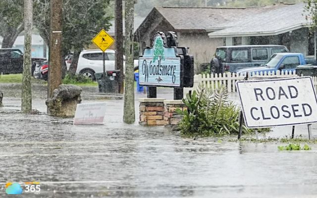
Severe flooding in Brevard County
Kyle Could Bring Strong Winds and Dangerous Surf
The potential coastal storm could bring worsening weather to Georgia and the Carolinas over the weekend.
Forecasts indicate that heavy rain may shift northward, with stronger wind gusts, high surf and dangerous rip currents affecting exposed beaches.
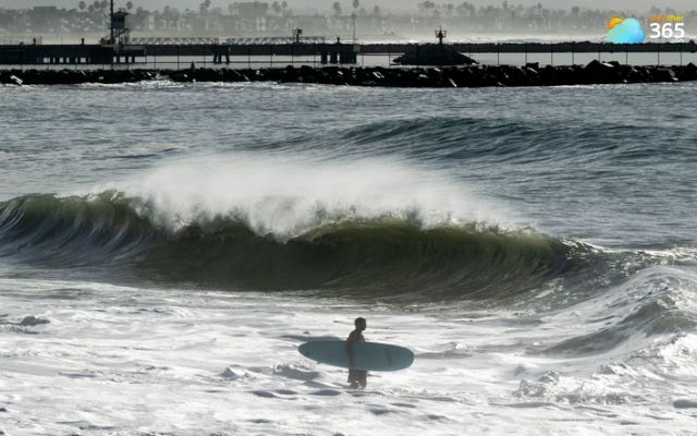
Potential coastal storm could bring strong winds and high surf (Photo: Orange County Register)
North Carolina is among the areas being monitored for deteriorating beach conditions.
Waves of 8 to 12 feet have already been reported near Florida's eastern beaches, while larger swells could develop farther north as the low-pressure system strengthens.
The storm's proximity to land will play a major role in determining the extent of its impacts.
A track closer to the coastline could bring stronger winds, heavier rainfall, and more coastal flooding.
A track farther offshore would likely limit some impacts inland but could still produce dangerous ocean conditions.
Residents along the Southeast coast should continue monitoring updates from the NHC and local weather offices.
Whether or not the system becomes Florida Subtropical Storm Kyle, its potential for heavy rain, flooding, and dangerous surf remains a significant concern heading into the weekend.
References
FOX Weather
Yale Climate Connections
WXII-TV
Peradaban
Naples News
Related post
Latest El Niño Update: What to Expect in Winter 2026–2027
 320
 0
 4.7
 17/11/2026
Flood Threat in Florida Grows as Heavy Rain Hits South Florida
160
0
4.8
19/11/2026

Lake Tahoe Winter Storm: Heavy Snow, 80 MPH Winds and Travel Risks
59
0
4.7
18/11/2026

0 Comment
Leave a comment
Your email address will not be published. Required fields are marked *