



Lake Tahoe Winter Storm: Heavy Snow, 80 MPH Winds and Travel Risks


The Lake Tahoe winter storm is expected to bring up to 4 feet of snow to parts of the Sierra Nevada, along with powerful wind gusts reaching 80 mph. The storm is set to create hazardous travel conditions from Wednesday through Friday, raising concerns for drivers and local communities.
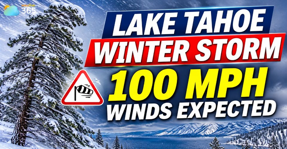
Lake Tahoe winter storm
Lake Tahoe Winter Storm Forecast: Up to 4 Feet of Snow
A powerful winter storm is moving into the Sierra Nevada, bringing heavy snowfall, strong winds and colder temperatures to the Greater Lake Tahoe area.
The National Weather Service (NWS) has issued a Winter Storm Warning from 4 a.m. Wednesday, November 18, through 4 a.m. Friday, November 20.
Snowfall totals will vary depending on elevation.
Areas above 7,000 feet could receive 2 to 4 feet of snow, while communities around Lake Tahoe's shoreline may see 1 to 2 feet.
The heaviest snowfall is expected across higher elevations and mountain passes.
Strong winds will add to the storm's impact.
Gusts could reach 80 mph or higher along exposed mountain ridges, with some NWS forecasts indicating peak gusts near 100 mph.
These conditions may lead to blowing snow, poor visibility and localized whiteouts.
Forecasters also expect snowfall rates of 2 to 4 inches per hour during the most intense periods from Wednesday into Thursday.
Heavy snow and strong winds could make outdoor activities and mountain travel particularly dangerous.
The storm follows an active start to November in the Sierra Nevada.
The incoming system is forecast to make this November the snowiest November for several Tahoe-area ski resorts since at least 2010.
The fresh snowfall is also welcome news for the ski industry after a disappointing previous season.
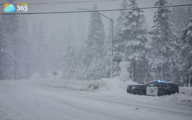
A winter storm is moving into the Sierra Nevada
Check the latest South Lake Tahoe weather forecast before heading outdoors to monitor temperatures, snowfall and wind conditions.
When Will Snow and Strong Winds Hit Lake Tahoe?
The storm is expected to develop late Tuesday night before bringing widespread snowfall to the Tahoe Basin early Wednesday.
Conditions will remain unsettled through Thursday, with gradual improvement expected on Friday.
Here's what to expect during the main storm period:
Wednesday, November 18: Heavy snow will spread across the Sierra Nevada. Snowfall rates may increase to 2 to 4 inches per hour, while strong winds create difficult visibility conditions. Ridge-top gusts could exceed 100 mph in exposed locations.
Wednesday night into Thursday, November 19: Snow will continue across the Tahoe Basin, with additional accumulation expected. Thursday is also likely to bring hazardous conditions on mountain roads and at higher elevations.
Friday, November 20: The storm should gradually weaken, with snowfall tapering to scattered showers during the morning. However, snow-covered roads and icy surfaces may continue to affect travel.
Another storm system could bring additional snow to the Sierra Nevada over the weekend.
Forecasters are also monitoring a potentially stronger atmospheric river ahead of Thanksgiving, although its timing and impacts remain uncertain.
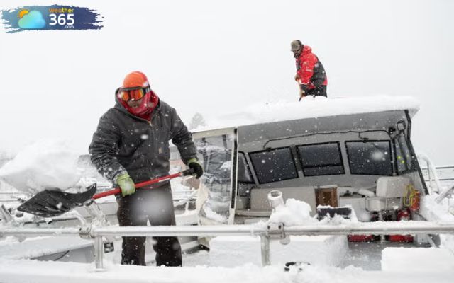
The storm is forecast to develop from late Tuesday night (Photo: David Calvert)
The incoming storm could make travel across the Sierra Nevada very difficult or even impossible at times.
The NWS warns that Wednesday and Thursday will bring the greatest risks, particularly on mountain highways and elevated roads.
Several major routes could experience significant disruptions:
Interstate 80 (I-80): Heavy snowfall around Donner Summit could lead to chain controls, traffic delays and temporary road closures.
Highway 50 (US-50): Snow and reduced visibility may affect drivers traveling between Sacramento and South Lake Tahoe.
State Route 88 (SR-88): Mountain sections could become slippery and hazardous as snow accumulates.
Drivers should prepare for rapidly changing road conditions.
Previous winter weather has already caused multiple spinouts and closures along I-80 over Donner Summit, highlighting the risks of crossing the Sierra during storms.
Winter Storm Safety Tips: What Travelers Should Do
More on Winter storm safety tips |
References
ABC7 News
Powder.com
Mercury News
San Francisco Chronicle
Related post
Huge Waves in California Flood Beaches and Close Piers
 381
 0
 4.9
 16/11/2026
Latest El Niño Update: What to Expect in Winter 2026–2027
144
0
4.7
17/11/2026
Tornado Watch New Castle County: Tornado Confirmed After Severe Storms
132
0
4.6
13/11/2026

0 Comment
Leave a comment
Your email address will not be published. Required fields are marked *