Hourly Temperature & Rain Outlook for Los Angeles, CA
Today’s temperature in Los Angeles will swing between 75°F and 99°F.
Morning hours typically start cooler under the influence of the coastal marine layer - bringing low clouds and foggy conditions to areas near Santa Monica and West LA - before burning off by mid-day to reveal sunnier, warmer skies inland.
Rain probability peaks at 70%, with expected accumulation around 0.05 inches.
Because coastal microclimates can cause sudden weather shifts across the LA Basin, review the hourly breakdown below to pinpoint exact dry windows for your commute or outdoor plans:
Morning Commute: Expect higher humidity and reduced visibility in coastal passes. Keep headlights on if driving through early morning fog.
Afternoon Peak: Highest temperatures will occur between 1:00 PM and 4:00 PM. If UV Index levels are high, plan shade breaks for outdoor activities.
Evening Outlook: Winds typically shift onshore by late afternoon, bringing a noticeable drop in temperatures after sunset. A light layer is recommended if you are heading out in the evening.
Data verified by Weather365 Meteorological Team | Sourced from NOAA/National Weather Service.
The current air quality in Los Angeles is 39 AQI, rated Good.
Hourly AQI changes can be especially noticeable during periods of lighter winds or increased urban activity, while stronger airflow may help disperse pollutants.
Checking the hourly AQI can show when air quality is expected to change and help you plan outdoor activities around current conditions.
Los Angeles is famous for its Mediterranean climate, but local weather varies dramatically across LA County’s 4,000 square miles.
Due to the influence of the Pacific Ocean and surrounding mountain ranges, conditions can shift rapidly from neighborhood to neighborhood, and hour to hour.
The Marine Layer & Coastal Cool (Mornings): Coastal areas like Santa Monica and Venice often experience low clouds and cool fog (the "June Gloom" effect) in the early morning, keeping temperatures around 60°F–68°F. This fog usually burns off by midday.
Inland Heat (Afternoons): Just 15 miles inland, neighborhoods in the San Fernando Valley (like San Fernando or Pasadena) escape the ocean breeze, with afternoon temperatures frequently climbing 10°F to 20°F higher than at the beach.
Wind & Humidity Shifts: Sea breezes typically pick up in the late afternoon along the coast, while dry onshore winds can lower humidity inland.
How to Use the Hourly Forecast for Your Day
Planning Commutes & Outdoor Activities
Because morning fog can reduce visibility on coastal highways (like PCH and I-10) before giving way to afternoon sun, tracking hourly wind, cloud cover, and UV levels helps you dress in layers and plan the best time for outdoor plans.
Managing Rain & Storms
Rain in LA is concentrated primarily between November and April. Rather than relying on a 24-hour rain percentage, check the hourly precipitation radar to pinpoint exact window times for light drizzles vs. heavier downpours.
Data sourced from real-time meteorological feeds across LA County stations. Updated hourly.
Severe and Extreme Weather in Los Angeles
While Los Angeles is renowned for its mild Mediterranean climate, Southern California frequently encounters severe microclimate hazards.
1. Extreme Heat & Urban Heat Islands
Summer and early autumn high-pressure ridges regularly trap hot air over Southern California, driving temperatures past 100°F (38°C) in inland valleys (such as the San Fernando and San Gabriel Valleys). Urban heat island effects and warm overnight lows prevent natural cooling, significantly elevating heat-stress risks.
Local Safety Tip: During Excessive Heat Warnings issued by the National Weather Service (NWS), utilize designated cooling centers across LA County and avoid outdoor strenuous activities between 10:00 AM and 4:00 PM.
2. Santa Ana Winds & Wildfire Escalation
Santa Ana winds develop when cool, high-pressure air masses over the Great Basin force offshore winds down the Sierra Nevada and coastal ranges.
As air descends, it compresses, warms, and dries out, generating powerful gusts exceeding 60–80 mph through mountain passes. These dry downslope winds drop relative humidity below 10%, creating extreme fire behavior.
Historical Impact & Precaution: The January 2025 Santa Ana event brought record gusts approaching 100 mph, directly fanning major wildfires across LA County.
During High Wind Warnings and Red Flag Conditions, secure loose outdoor items, prepare an emergency "Go-Bag," and keep vehicles fueled or charged in case of sudden evacuation orders.
3. Atmospheric Rivers, Heavy Rainfall & Coastal Surges
Winter storms driven by "Atmospheric Rivers" can dump inches of rain within hours, overwhelming urban drainage and causing rapid flash flooding.
Burn scars from previous wildfires are particularly vulnerable to destructive debris flows and mudslides.
Simultaneously, high surf combined with king tides causes coastal inundation, especially in low-lying areas like Long Beach and Point Mugu.
Actionable Guidance: Monitor local emergency alerts (Alert LA County), inspect home rain gutters before winter, and never drive through flooded roadways ("Turn Around, Don't Drown").
Check the latest Los Angeles weather stories below to stay informed about significant weather conditions affecting the area.
Data Sources & Resources: Meteorological observations provided in partnership with National Weather Service (NWS Los Angeles/Oxnard) and NOAA Weather Prediction Center.
Top Stories
Stay ahead of shifting conditions with our most-read guides on real-time tracking, atmospheric patterns, and climate fundamentals. Dive into the featured articles below to master hourly weather tracking today!
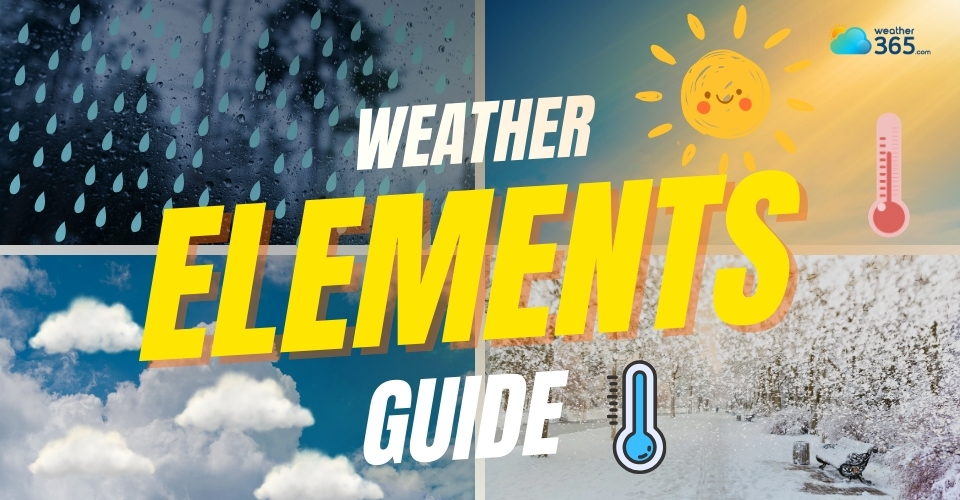
Learn about the main weather elements, including temperature, humidity, air pressure, wind, precipitation, UV index, and how they influence weather conditions.
Learn what is graupel and how to tell it apart from hail , snow, and sleet. Explore the science behind this winter weather phenomenon. Read the post now!
Discover what is a Nor'easter, its characteristics, typical formation areas, and how it affects weather across the Northeast and Mid-Atlantic. Learn safety tips.