Over the next 10 days, Sedgwick is expected to experience overall Light Rain conditions. Temperatures will average between 53°F and 64°F across South Central Kansas, influenced by Great Plains wind patterns and regional atmospheric shifts.
⏱️ Quick Weather Highlights
🌡️ Temperature Range: Daily lows average around 53°F, with afternoon highs reaching 64°F.
🌧️ Peak Rain Risk: The highest rainfall probability reaches 89% on Wednesday, with potential isolated showers across Sedgwick County.
☔ Precipitation Outlook: Overall, Rain Possible are expected throughout this 10-day extended forecast period.
🚗 Local Travel Outlook: Dry and clear conditions dominate most days, maintaining favorable driving conditions along US-81 and K-96.
💡 Planning Tip: Weather patterns across the Kansas plains can evolve rapidly. Review the 10-day daily breakdown below for updated hourly trends, UV indices, and live radar tracking.
Sedgwick’s 10-day extended outlook highlights key thermal shifts and precipitation risks across South Central Kansas, helping you schedule agricultural work, travel, and outdoor plans.
🌡️ Temperature Trends
Expected Range: Daily temperatures will fluctuate between a low of 53°F and a high of 64°F across Sedgwick County.
Warmest Peak: Peak warmth occurs on Wednesday (reaching around 64°F), driven by southerly winds across the Arkansas River Basin.
Daily Planning: Cooler morning and evening windows offer the best conditions for outdoor exercise and chores, while warm afternoons require sun protection and hydration.
🌧️ Rainfall & Moisture Outlook
Precipitation Range: Rain probabilities will vary from 0% to 89% throughout the 10-day window.
Peak Rain Window: Wednesday carries the highest rain risk at 89%, with potential accumulations around 10 inches.
Commute & Travel Impact: Passing showers may briefly affect visibility and road conditions along US-81 and K-96.
💡 Forecast Confidence Note: Days 1–3 hold the highest accuracy (~90%). Extended days (Days 8–10) reflect broader Great Plains weather models—check daily updates as your travel dates approach.
👉 Plan Ahead: Check Live 10-Day Hourly Graphs & Radar Map for Sedgwick
Weather patterns across the South Central Kansas plains can shift rapidly as continental fronts cross the Arkansas River Basin. Tracking a 10-day trend provides practical, localized advantages for daily planning:
Agricultural & Outdoor Operations: Identify dry multi-day windows for field work, crop management, or residential maintenance before rain systems move in.
Commute & Travel Readiness: Anticipate sudden wind shifts, reduced visibility, or localized downpours along major transit corridors like US-81, K-96, and I-35.
Severe Weather Lead Time: Spot approaching cold fronts, sharp thermal drops, or convective storm potential several days in advance, allowing ample time for outdoor prep.
Smart Activity Timing: Pinpoint the most favorable temperature windows for outdoor exercise and recreation in Sedgwick and nearby Wichita or Newton.
👉 Check your local weather: Get Real-Time Sedgwick Local Weather Updates & Live Radar
🌪️ Extreme Weather & Severe Hazards in Sedgwick, KS
Located in South Central Kansas within the heart of Tornado Alley, Sedgwick County sits directly in an atmospheric collision zone.
Warm, humid air surging north from the Gulf of Mexico frequently clashes with cooler, drier polar air masses crossing the Great Plains.
This intense instability across the Arkansas River Basin regularly triggers severe convective thunderstorms, destructive hail, straight-line winds, flash flooding, and tornadoes.
🧊 Record Hail Hazards
Hail is one of the most frequent and costly severe weather risks in Sedgwick County, capable of causing extensive damage to vehicles, crops, and residential roofing:
Historical Benchmark: A landmark supercell in September 2010 dropped record-breaking hail across the Wichita metro area, including a 7.75-inch hailstone—setting a Kansas state record.
🌪️ Tornadoes & Straight-Line Winds
Strong atmospheric wind shear in spring and summer supports rapid tornadic development and severe downbursts.
Recent Event (June 2026): A severe storm complex produced an EF2 tornado near the Sedgwick–Harvey County line, bringing damaging winds and severe structural impacts to northern communities along US-81.
🌊 Flash Flooding & Heavy Rain
Heavy summer rainfall events present rapid flooding hazards across Sedgwick’s low-lying urban sectors and agricultural plains:
Flash Flood Impact: Tropical moisture pulses can dump 5 to 7 inches of rain within 2 hours (as seen in the historic Sedgwick–Butler County flood), causing rapid river surges and emergency water rescues.
🛡️ NWS Safety Tip: During active watches or warnings, monitor live radar and seek interior shelter away from windows immediately.
👉 Follow the latest Sedgwick weather stories below for updates on storms, rainfall, wind, and other potential hazards.
Top Stories
Explore our series of 10-Day Weather Forecast articles, covering extended forecast tools, atmospheric processes, and notable severe weather events. Read the most relevant and most-viewed articles below.
Learn about the main weather elements, including temperature, humidity, air pressure, wind, precipitation, UV index, and how they influence weather conditions.
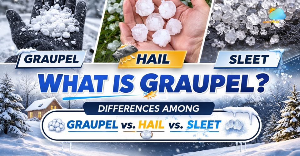
Learn what is graupel and how to tell it apart from hail , snow, and sleet. Explore the science behind this winter weather phenomenon. Read the post now!
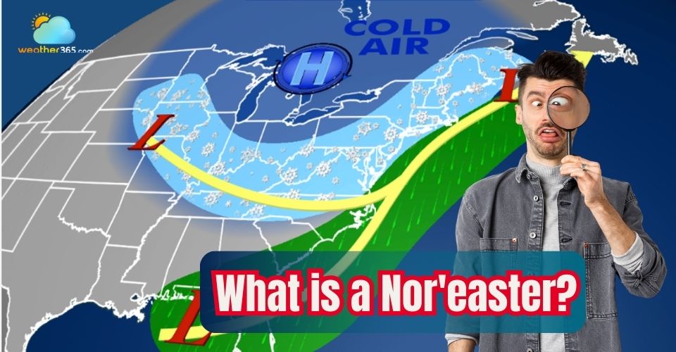
Discover what is a Nor'easter, its characteristics, typical formation areas, and how it affects weather across the Northeast and Mid-Atlantic. Learn safety tips.