⏱️ Live Update: Today | Data Source: OpenWeather (Central Kansas Representative Location)
⏱️ Last updated: 11/07/2026 18:03
📍 Kansas Overview: Clear Sky with an air temperature of 53°F.
What is Kansas weather like today?
Kansas is currently experiencing Clear Sky with a temperature of 53°F (feels like similar) and high humidity at 70%. Temperatures will stay mild between 34°F and 62°F with an average wind speed of 7 mph.
💡 Kansas Temperature Tip:
• Do: Wear a windproof and waterproof outer layer, dress in warm thermal layers, and protect exposed skin from cold rain and gusty winds. • Don’t: Stay outside for long periods without adequate waterproof and windproof clothing, especially during high-probability rain and strong wind conditions.
Current Weather - Kansas
07/11/2026,
--:--
Clear Sky
53oF
34oF
/
62oF
| Feel like
51oF
0% Rain
|
0 in
Humidity
70%
Vision
6.21 miles
Wind Speed
7.02 mph
UV index
0
Sunrise / Sunset
07:07
/
17:27
🌬️ Is It Windy in Kansas Today & This Evening?
Current Trend: Kansas is currently experiencing Light Winds South South West winds at 7 mph, with peak crosswind gusts expected to reach 7 mph during the Evening.
🚗 Highway Driving Advisory: High-profile vehicles, RVs, and haulers commuting along I-70 and I-35 should prepare for strong lateral gusts across open plains.
💡 Safe Driving Tip: Keep a firm two-handed grip on the steering wheel, reduce highway speeds by 5–10 mph during peak gust windows, and check the Kansas Hourly Forecast before evening travel.
• ⏳ Remaining Daylight Window: ~Sunset has occurred
💡 Before-Dusk Activity Tip: Sunset occurs at 17:27. Plan to finish all outdoor farming operations, dog walking, or outdoor exercise before 5:00 PM to avoid the rapid temperature drop and low-visibility twilight winds.
Precipitation Risk: Up to 0% peak chance of rain | Total expected: 0 in
Actionable Tip: Layer your clothing to adapt to today's 28°F thermal shift and carry rain gear during peak probability hours.
👉 View the Kansas Hourly Forecast for precise hourly rainfall timing and temperature progression.
Today's Commute & Outfit Checklist 👕 What to Wear Today
Dress for Temperature Swings: Kansas weather is famous for rapid shifts - always check today's High and Low, and pack an adaptable extra layer (a jacket for cool seasons or light protective wear for summer).
Protect Against Sun & Wind: Keep UV-blocking sunglasses and lip balm handy year-round to counter the bright prairie sunlight and persistent plain winds.
🚗 Commute & Travel Advisory
Morning Commute: Expect clear roads and smooth traffic conditions across I-70 and I-35 highways.
Evening Commute: Exercise extra caution between 4:30 PM – 6:30 PM due to crosswind gusts up to 32 mph on open highways.
Driving Safety: Keep a firm two-handed grip on the steering wheel, especially when passing high-profile semi-trucks.
🏃 Best Outdoor Window
Optimal Timing: Schedule outdoor errands, running, or dog walking between 4:00 PM – 6:00 PM.
Weather Conditions: Enjoy pleasant temperatures and calm conditions right before the evening wind and chill set in.
Today's UV Index in Kansas is 0, classified as Low.
With this UV index, people can enjoy outdoor activities with little risk from UV exposure, but sunscreen and sunglasses are still recommended during prolonged time in the sun..
Viewing Conditions: Excellent for stargazing and viewing faint stars. Darker skies provide better conditions for observing constellations, meteor showers, and other celestial objects.
Local Tip: Escape urban glare toward open rural Kansas fields for clearer horizon views.
Kansas rises from East to West—stretching from low-lying humid valleys near Topeka up to over 4,000 feet on the High Plains near Mount Sunflower. This dramatic shift creates three distinct climate zones across the state:
Western Kansas (Dodge City, Garden City): Higher elevation and dry air result in sharper day-to-night temperature drops (often 30°F+ shifts) and stronger prairie wind gusts.
Eastern Kansas (Wichita, Kansas City, Overland Park): Gulf moisture inflow leads to higher summer humidity, increased rainfall odds, and heavier winter snowfall.
Central Kansas (Salina, Hutchinson): Serves as a transitional battleground where dry western winds clash with humid eastern air masses.
⚠️ Why Statewide Forecasts Aren't Enough: Because conditions vary wildly across regions, a single statewide temperature average won't reflect what's happening outside your front door.
👉 Get Exact Local Weather: Select your city below for micro-climate radar, hour-by-hour trends, and localized weather advisories.
🌩️ Essential Guide to Navigating Kansas's Unpredictable Weather
Understanding your city’s specific forecast is critical because Kansas weather systems evolve rapidly. Positioned in the heart of the Great Plains, the state serves as a primary meeting ground for contrasting air masses—cold Arctic blasts from the north, dry winds from the Rockies, and warm, humid air from the Gulf of Mexico. This dynamic environment shapes several daily atmospheric hazards you should monitor:
1. Prairie Wind & High-Speed Highway Safety
Open terrain across Kansas leaves few natural windbreaks, allowing high wind gusts to sweep uninterrupted across rural counties.
The Driving Hazard: Strong crosswinds are a major risk for high-profile vehicles, RVs, and haulers commuting along major east-west transit corridors like I-70 and I-35.
Daily Action: When local forecasts report wind gusts exceeding 30 mph, reduce your highway speed and keep a firm grip on the steering wheel, particularly in open western plains.
2. Thunderstorm Instability & Rapid Storm Development
In central and eastern Kansas, sudden dew point spikes signal atmosphere instability. During warm months, dry western air frequently collides with muggy eastern moisture along a weather boundary known as the dryline.
The Severe Risk: This collision can trigger severe thunderstorms, large hail, damaging straight-line winds, and isolated tornadoes within hours.
Daily Action: Always check your city’s Hourly Radar & Rain Probability around early afternoon (1:00 PM – 4:00 PM), which is the prime window for pop-up severe weather.
3. Managing Sharp Day-to-Night Thermal Shifts
Due to the state's continental climate, temperatures can drop by 25°F to 35°F in less than 12 hours once the sun sets—a phenomenon especially pronounced in western high-elevation counties.
Comfort & Health Tip: A mild 75°F afternoon can quickly transform into a chilly 45°F evening. Layering your wardrobe is essential for early morning commutes and evening outdoor plans.
Trending
Discover the most-read weather articles from weather phenomena and changing conditions to practical safety tips. Explore these stories to better understand and prepare for today's forecast.
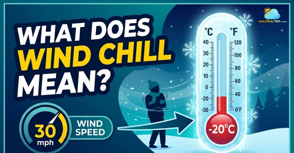
What does wind chill mean? Learn the definition, how it is calculated, why it makes temperatures feel colder than actual air temperature, and safety tips!
Learn how to survive a thunderstorm with expert tips for before, during, and after the storm. Stay safe from lightning, floods, and other storm hazards.
Extreme heat can cause many serious problems, especially health issues. Know the harmful effect of heat & tips to stay well during the hot summer in this post.







 62oF
 34oF
 0%