




Polar Vortex Split Forecast Signals an Unusual Winter 2026–2027


The polar vortex split forecast points to a potentially record-early disruption in November 2026, raising questions about the upcoming winter across the US. Forecast models suggest the Arctic circulation could weaken and split in the coming days. However, a strong El Niño may help keep much of the country warmer than usual.
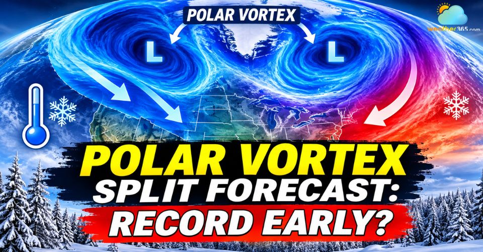
Polar vortex split forecast
Polar Vortex Split Forecast: Key Updates
A possible polar vortex disruption in early November could set a new timing record.
Super El Niño may limit widespread cold outbreaks across the United States.
Late November and December could bring changing weather patterns as the atmosphere responds.
Polar Vortex Signals an Unusual November Event
Meteorologists are monitoring a major disruption of the polar vortex over the Arctic, where stratospheric winds could reverse direction as early as November 6–10.
If the forecast verifies, the event could become the earliest major sudden stratospheric warming (SSW) on record.
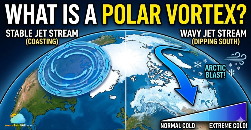
The polar vortex is a large circulation of cold air and low pressure high above the North Pole. It typically strengthens during autumn and winter, helping keep the coldest Arctic air contained near the polar region.
However, rising temperatures in the stratosphere can weaken this circulation, stretch its shape or split it into two separate centers.
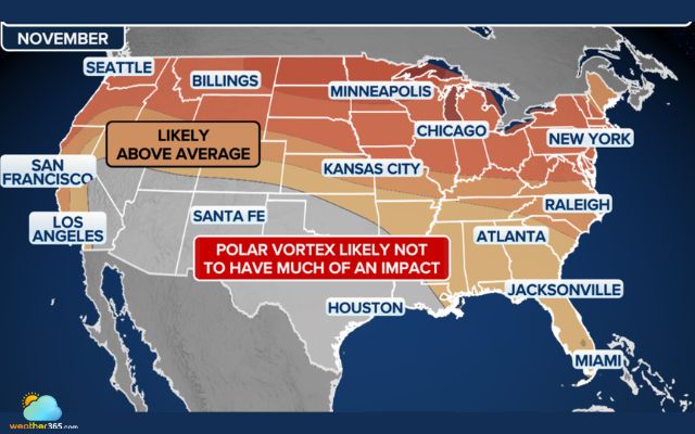
Warmer-than-average weather expected with minimal early polar vortex impact (Photo: FOX Weather)
Current ECMWF and GEFS ensemble forecasts indicate a sharp slowdown in stratospheric winds, with some projections showing a reversal from westerly to easterly flow.
Severe Weather Europe also highlights a possible split into two vortex cores near the 10-millibar level, approximately 30 kilometers above the Earth's surface.
The timing makes this development particularly unusual.
Major SSW events generally occur between January and March, when the polar vortex is well established.
The previous earliest November event in the historical record occurred on November 28, 1968.
However, the disruption will not immediately bring Arctic air to the ground. Changes in the stratosphere can take several weeks to influence the jet stream and surface weather patterns.
For now, the potential effects on North America are more likely to emerge in late November or December.
What Is a Polar Vortex Split? A polar vortex split occurs when the large circulation of cold air around the Arctic separates into two smaller circulation centers. This process can change how cold air moves across the Northern Hemisphere. Unlike a simple weakening, a split involves a major change in the vortex's structure and may increase the potential for unusual winter weather in some regions. Continue reading: What is a polar vortex |
Super El Niño Could Counteract Polar Vortex
Despite the potential disruption, a widespread cold outbreak across the United States is far from certain.
A strong Super El Niño is expected to play a major role in shaping the 2026–2027 winter, potentially limiting the influence of the weakened polar vortex.
El Niño typically strengthens the Pacific jet stream, helping transport milder air across parts of North America.
This pattern could make it harder for Arctic air to move south and remain over the country for extended periods.
According to the Climate Prediction Center outlook, above-average temperatures are favored across much of the northern United States, including the Pacific Northwest, Northern Plains, Upper Midwest, Great Lakes and Northeast.
Brief cold spells remain possible, but the broader pattern currently favors a milder November.
Historical climate simulations also offer some clues about the months ahead.
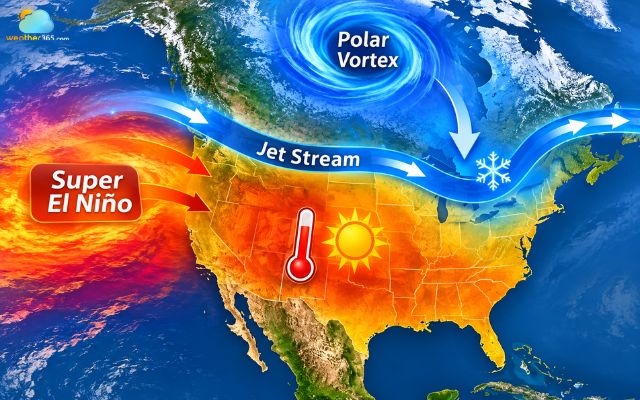
The polar vortex disruption could still send cold air into parts of North America
Severe Weather Europe examined thousands of model simulations and identified 21 winters with a similar combination of early polar vortex collapse, strong El Niño and westerly QBO conditions.
These cases showed colder temperature signals extending from western Canada into parts of the United States, alongside increased snowfall signals across the northern and eastern US.
However, these results represent the potential influence of the early stratospheric disruption, not a direct forecast for this winter.
Super El Niño could offset some of the colder signals, making the final weather pattern difficult to predict.
For Boston and the wider Northeast, the possibility of colder periods later in the season remains worth watching.
For now, the early polar vortex disruption is a significant development to monitor, but it does not guarantee a colder winter.
The interaction between the polar vortex and Super El Niño will help determine whether the United States experiences occasional Arctic outbreaks or maintains a generally warmer pattern through the coming months.
References
FOX Weather
USA Today
KFI
Severe Weather Europe
Related post
What Is Stratospheric Warming? The Hidden Force Behind Extreme Cold
 268
 8
 4.9
 18/08/2026
What Is a Polar Vortex? Definitions, Causes, and Weather Impacts
259
8
4.8
18/08/2026
How Does Temperature Affect The Weather? Simply Explained
251
8
4.6
18/08/2026

0 Comment
Leave a comment
Your email address will not be published. Required fields are marked *