Expect Clear Sky weather in Sedgwick today, with temperatures ranging from 69°F to 87°F.
Rain chance remains at 0% with steady light winds at 17 mph.
⏱️ Quick Outlook: Ideal conditions for daily commutes along US-81 / K-96 and outdoor activities. No severe weather alerts currently in effect for Sedgwick County.
🌡️ Temperature & Feels-Like Outlook for Sedgwick, KS
Today in Sedgwick, air temperatures will range from a morning low of 69°F to an afternoon high of 87°F. Due to South Central Kansas humidity and solar exposure, the apparent ("feels-like") temperature will peak near 80°F during the warmest part of the day.
Metric
Actual Air Temp
Feels-Like Temp
Key Influencing Factor
Daily Range
69°F - 87°F
Up to 80°F
Afternoon humidity & direct sunlight
Peak Window
17:00
Peaks near 3:00 PM
Light prairie breezes (~7 mph)
In the Great Plains region, afternoon sun combined with surface moisture frequently makes conditions feel warmer than dry-bulb thermometer readings suggest.
⏱️ Hourly Weather Trends & Local Activity Planning
Monitoring hourly variations helps you optimize travel and outdoor schedules across Sedgwick County:
Morning Commute (6:00 AM – 10:00 AM): Crisp and comfortable starting near 69°F. Excellent road visibility for daily travel along US-81 and K-96.
Afternoon Peak (12:00 PM – 5:00 PM): Reaching today's high of 87°F (Feels like 80°F). Sunlight and thermal index peak during this window—schedule intense outdoor exercise early or late to avoid peak warmth.
Evening & Night (6:00 PM Onward): Cools down steadily toward 69°F under clear, calm skies with zero risk of rain.
💡 Local Tip: Use the interactive hourly chart below to track real-time humidity shifts, wind variations, and UV index levels throughout Sedgwick.
🌧️ Rain Probability & Hourly Precipitation Outlook for Sedgwick, Kansas
Sedgwick currently holds an average 0% chance of rain today, with hourly precipitation risks remaining between 0% and 0%. If light isolated showers develop, peak likelihood will occur around 14:00, with expected hourly rainfall accumulating between 0 and 0 in.
Metric
Daily Value / Range
Peak Window
Regional Driving Impact
Rain Chance
0% – 0%
Around 14:00
Dry roads across US-81 & K-96
Precipitation Amount
0 – 0 in
Brief / Localized
No hydroplaning or runoff risk
In South Central Kansas, atmospheric moisture can occasionally trigger brief, localized convective showers without causing continuous rainfall across Sedgwick County.
⏱️ Hourly Precipitation Trends & Local Activity Planning
Tracking hourly rain chances helps you plan outdoor work, farming operations, and daily travel across the Sedgwick area:
Morning & Commute Hours: Clear, dry conditions with a 0% rain risk. Ideal for morning driving along US-81 and outdoor chores.
Afternoon Peak Window (Around 14:00): Rain probability reaches its daily maximum of 0%. Any passing showers during this window are expected to be light, leaving PRECIP inches of accumulation.
Evening & Overnight: Precipitation risk drops back toward 0%, offering dry roads and clear skies across Sedgwick County.
💡 Local Tip: While overall precipitation risk remains minimal today, check the live radar chart below to track real-time cloud movement and sudden pop-up showers across Sedgwick and neighboring towns (Valley Center, Newton, and Halstead).
📅 7-Day Weather & Temperature Outlook for Sedgwick, KS
Over the next seven days, Sedgwick will experience Clear Sky conditions, with temperatures ranging from a low of 69°F to a high of 87°F. Daily rain probabilities across South Central Kansas will fluctuate between 0% and 0%, keeping overall precipitation risks low to moderate.
🌧️ Key Weekly Weather Highlights & Planning
Peak Rain Window (14:00): The highest precipitation risk occurs during this period, with potential accumulations reaching around 0 in. Brief localized showers may temporarily impact outdoor chores or commutes along US-81 and K-96.
Dry & Clear Days: The remainder of the week is expected to stay mostly dry, offering favorable driving conditions for daily travel toward nearby Wichita or Newton.
💡 Planning Tip: Plains weather patterns can shift quickly. Check the interactive 7-day model below for real-time radar updates and daily temperature adjustments across Sedgwick County.
🌾 Sedgwick Local Climate & Micro-Climate Variances
Located in South Central Kansas, Sedgwick experiences a dynamic Great Plains climate marked by sharp seasonal temperature shifts, strong surface winds, and localized convective storms.
Due to the open prairie terrain, atmospheric fronts moving across the Arkansas River Basin frequently bring sudden weather changes to the area.
Weather conditions can also vary noticeably within Sedgwick County. A passing summer thunderstorm or localized wind gust over northern Sedgwick may not impact southern communities near the Wichita metro area or neighboring Harvey County.
Whether you are commuting along US-81 and K-96, managing agricultural operations, or planning outdoor recreation, relying on hyper-local data ensures better accuracy than broad regional readings.
👉 Explore Hyper-Local Weather Near You: Check Live Conditions for Sedgwick & Neighboring Communities
🏛️ Sedgwick County Geography & Regional Micro-Climates
Located in South Central Kansas, Sedgwick County spans ~997 square miles across the Arkansas River Basin, serving as home to over 538,000 residents (anchored by the Wichita metropolitan area).
The county encompasses 20 incorporated cities—ranging from urban Wichita to surrounding agricultural hubs like Derby, Goddard, Maize, Valley Center, Cheney, and Sedgwick—along with 26 rural townships.
🌪️ Terrain & Micro-Climate Impacts
Open Prairie Topography: Ranging from 1,220 to 1,540 feet above sea level, the flat to gently rolling terrain offers zero geographic barriers to sudden atmospheric shifts.
Air Mass Collision Zone: Warm, moist air moving north from the Gulf of Mexico frequently clashes with cold polar air masses from the north, triggering rapid thermal swings and severe convective storms.
Localized Weather Disparities: A localized thunderstorm or strong wind gust over northern Sedgwick (near K-96) may leave southern corridors along I-35 or US-81 completely dry.
🌾 General Climate & Seasonal Expectations
Sedgwick County features a pronounced continental climate characterized by hot summers, cold winters, and high wind exposure:
Summer (Peak July): Average highs reach 92°F, with high dew points generating elevated heat index readings across the Arkansas River Lowlands.
Winter (Peak January): Average highs sit near 43°F, with overnight lows dropping to 24°F. Freeze conditions and light snowfall are common.
Precipitation & Storms: June is the wettest month (averaging 4.3 inches of rainfall), while January is the driest (0.3 inches). Spring and summer bring severe convective weather, including downpours, hail, and high wind gusts.
Frequently Asked Questions
1. What is the current temperature in Sedgwick?
The current temperature in Sedgwick is 87°F, with a feels-like temperature of around 80°F.
These values can change throughout the day as wind, humidity, cloud cover, and sunlight conditions shift.
2. What is the temperature range in Sedgwick today?
Today's temperature in Sedgwick is expected to range from 69°F to 87°F.
Checking the hourly forecast can help you understand when temperatures will rise or fall during the day.
3. What is the chance of rain in Sedgwick today?
The chance of rain in Sedgwick is currently 0%, with expected precipitation of approximately 0 in.
Rainfall can be localized, so conditions may differ between nearby towns and communities.
4. How windy is it in Sedgwick today?
Winds in Sedgwick are currently around 17 mph, coming from North
Wind conditions can change quickly, particularly when thunderstorms or weather fronts move through the area.
5. What is the UV Index in Sedgwick today?
The UV Index in Sedgwick is currently 7, classified as High
This metric indicates the potential risk from ultraviolet radiation and can help you decide how much sun protection is appropriate for outdoor activities.
6. What time are sunrise and sunset in Sedgwick today?
Sunrise in Sedgwick is at 07:35, while sunset is expected at 18:56, providing approximately 11h 21m of daylight.
Knowing daylight hours can be useful when planning outdoor activities or travel.
7. What is the dew point in Sedgwick?
The dew point in Sedgwick is currently 70°F.
A higher dew point generally indicates more moisture in the air and can contribute to a muggy or humid feeling.
Top Stories
Discover the most-read weather articles from weather phenomena and changing conditions to practical safety tips. Explore these stories to better understand and prepare for today's forecast.
Learn about the main weather elements, including temperature, humidity, air pressure, wind, precipitation, UV index, and how they influence weather conditions.
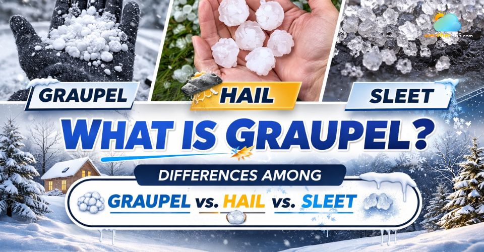
Learn what is graupel and how to tell it apart from hail , snow, and sleet. Explore the science behind this winter weather phenomenon. Read the post now!
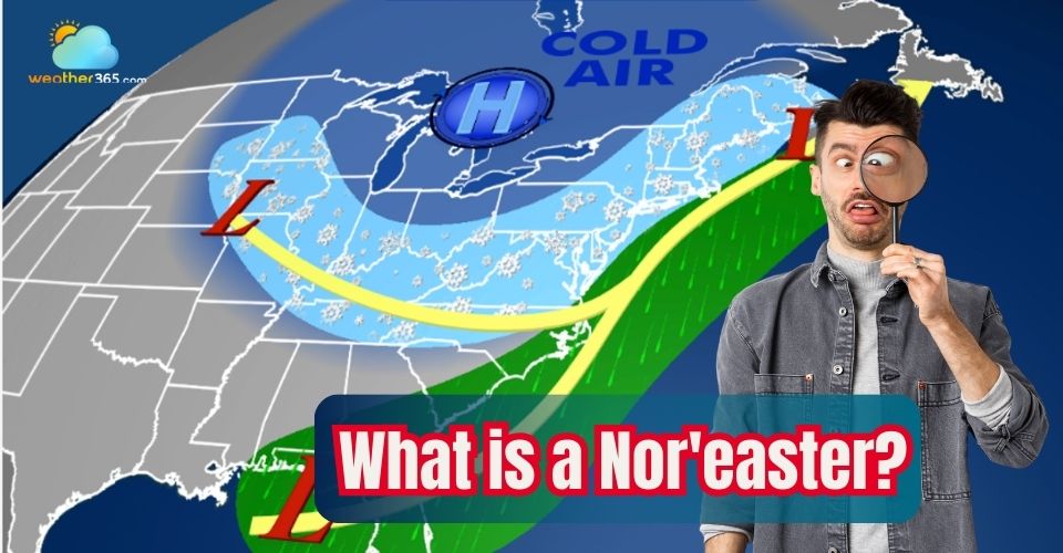
Discover what is a Nor'easter, its characteristics, typical formation areas, and how it affects weather across the Northeast and Mid-Atlantic. Learn safety tips.