3-Day Summary: Over the next 72 hours, California will see temperature highs averaging 99°F and nighttime lows around 68°F. Peak heat will hit on Monday, with overall rain chances reaching up to 0%.
🌡️Temperature: 68°F - 99°F
🔥 Highest temperature: 99°F on Monday
💨 Average wind: 7 mph
🌧️ Chance of rain: Up to 0%
📅 Highest rain chance: Monday
💡 Quick Planning Tips for the Next 72 Hours
Road Trips & Commuting: On Monday, watch for slick roads and reduced visibility along coastal routes and mountain passes.
Outdoor Events & Hiking: Monday will be the warmest day of the 3-day window—ideal for beach activities, but pack extra water if hiking inland.
Over the next 3 days, daily comfort in California will be shaped by temperature highs of 99°F, wind speeds around 7 mph, and a peak UV index reaching 7 (High).
🌡️ Temperature Trend: 68°F to 99°F
☀️ UV Protection Alert: Peak 7 (High)
🌧️ Rain Probability: Up to 0%
💨 Wind & Air Movement: Average 7 mph
💡 Best Times for Outdoor Activities Over the Next 3 Days
Outdoor Sports & Exercise: Schedule runs, biking, or heavy workouts before 10:00 AM or after 4:30 PM to avoid the combined strain of peak UV (7) and maximum daily heat (99°F).
Travel & Sightseeing: Check hourly wind and rain shifts if traveling along exposed coastal highways or mountain passes where sudden gusts occur.
Today, California will receive approximately 13 hours and 38 minutes of total daylight.
Sunrise: 05:18 AM
Midday peak: 12:00 PM - 03: 00 PM
Sunset: 06:56 PM
Note: Exact sunrise and sunset times vary by 15–20 minutes across California’s vast terrain. Coastal cities (like San Francisco) and mountain valleys (like Lake Tahoe) may experience earlier twilight due to terrain shading and ocean fog.
7-Day Temperature and Rainfall Outlook in California
Over the next week, California will experience temperatures ranging between a cool 68°F and an afternoon high of 99°F. Peak weekly heat is expected on Monday, with rain probability is 0% (highest on Monday).
🌡️ Temperature Trend: 68°F to 99°F
🌧️ Rainfall Outlook: Monday
🔥 Hottest Day of the Week: Monday
🌧️ Peak Rain Risk: Highest chance 0 on Monday
Weekly Outdoor & Commute Tips
👕 Smart Dressing: Daily temperature swings between early morning (68°F) and afternoon (99°F) can reach up to 25°F. Wear lightweight layers to adapt easily throughout the day.
🚗 Trip Planning: If you are scheduling outdoor construction, road trips, or weekend camping, prioritize the drier days of the week and keep rain gear handy for Monday.
Check the California Hourly Forecast to track real-time rain radar, wind shifts, and microclimate changes across your specific city.
Why Track California's 3-Day Forecast?
California’s coastal marine layers, mountain passes, and inland heat zones can cause weather to shift rapidly over a 72-hour period. Tracking a 3-day forecast gives you actionable visibility to plan outdoor activities, daily commutes, and weekend travel without relying on long-range guesswork.
🚴 Outdoor Sports & Hiking: Focus on Peak Temperature and UV Index metrics. Pinpoint the best low-UV window, typically before 10 AM or after 4 PM for intense outdoor workouts and ridge trail hikes.
🚗 Commuting & Driving: Monitor Rain Probability and Visibility metrics. Anticipate wet roads on coastal routes like US-101 or reduced visibility from morning Tule fog along major inland corridors like I-5.
🧳 Packing & Daily Attire: Track the Diurnal Temperature Gap. Prepare breathable, lightweight layers when the gap between daytime highs and nighttime lows exceeds 20°F.
🏖️ Weekend & Coastal Trips: Check Wind Speed and Cloud Cover indicators. Track afternoon marine layers along Pacific beaches to schedule coastal sightseeing during clear, sunny windows.
3 Quick Tips to Avoid Weather Surprises
Layer Up for Microclimates: If traveling between coastal cities (like San Francisco) and inland valleys (like Sacramento), keep a fleece or light jacket in your vehicle - temperatures can swing by 25°F within a 45-minute drive.
Monitor Midday UV Swings: Even on partially cloudy days, UV exposure across California can reach moderate-to-high levels between 11 AM and 3 PM.
Check Real-Time Updates: Weather models refresh continuously. Re-checking the 72-hour outlook 24 hours before a major event ensures you catch sudden rain or wind shifts.
Top Stories
Explore the most-viewed articles of 3-Day Weather Forecast articles, covering essential weather concepts, atmospheric phenomena, and practical guides to help you better understand changing conditions.
Learn about the main weather elements, including temperature, humidity, air pressure, wind, precipitation, UV index, and how they influence weather conditions.
Learn what is graupel and how to tell it apart from hail , snow, and sleet. Explore the science behind this winter weather phenomenon. Read the post now!
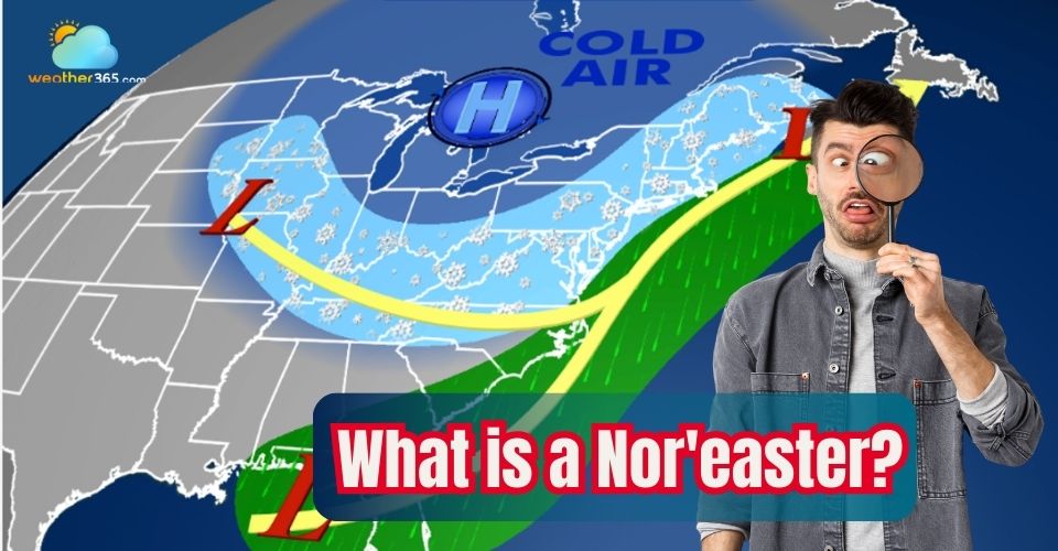
Discover what is a Nor'easter, its characteristics, typical formation areas, and how it affects weather across the Northeast and Mid-Atlantic. Learn safety tips.