




Which US States has the Least Rainfall? Top 5 Driest Cities (Updated)


Which US states has the least rainfall? Nevada consistently ranks as the driest state in America, receiving only around 10 inches of rain annually. From desert landscapes to rain-shadow regions, these states have unique climate patterns. Keep reading to discover the driest US states, major cities, and what causes these extreme dry conditions.
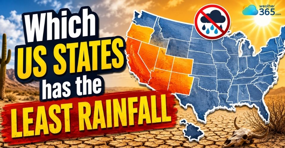
Which US states has the least rainfall
Climate Patterns in Driest States
The driest states in the United States are mostly located in the Southwest and interior West, where geography and climate systems combine to limit rainfall throughout the year.
Rain shadow effect
One major factor is the rain shadow effect. Moist air from the Pacific Ocean loses much of its water as it rises over coastal mountain ranges like the Sierra Nevada.
By the time the air descends on the other side, it becomes warmer and drier, leaving states such as Nevada and Utah with very little precipitation.
Temperature variations
Temperature variations are also extreme in these regions. Summers are often intensely hot, while winters can become surprisingly cold, especially in higher-elevation desert areas.
Death Valley in California, near Nevada, is famous for recording some of the hottest temperatures on Earth.
Minimal precipitation
Another defining feature is the lack of consistent rainfall.
Nevada averages only about 10 inches of rain annually, while Arizona and New Mexico often experience brief but intense monsoon storms during late summer.
This concentration of rainfall highlights how starkly regional timing differs when looking at what month does it rain the most across the country.
Low humidity
Low humidity is common as well. Dry air and clear skies create comfortable conditions in some seasons, but they also increase evaporation and drought risk.
In recent years, the Southwest has experienced a severe long-term “megadrought,” considered one of the driest periods in over 1,200 years.
Scientists link these conditions to climate change, persistent high-pressure systems, and limited access to major moisture sources.
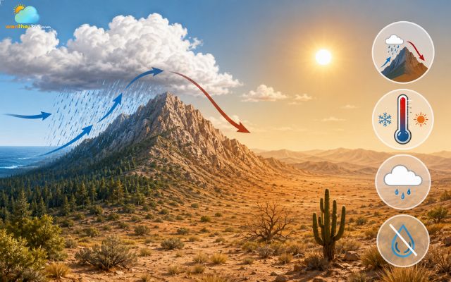
Climate characteristics of arid regions
Which US states has the least rainfall?
Nevada is currently considered the driest state in the United States.
However, several other western states also receive very little rainfall each year due to desert climates, mountain barriers, and limited moisture sources.
Nevada
Annual precipitation: ~9.5 inches (241 mm)
Driest month: June
Feature: The Sierra Nevada rain shadow blocks moist Pacific air, while large elevation differences create dramatic contrasts between arid desert basins and snowy mountain ranges.
Nevada ranks as the driest state in the nation, averaging under 10 inches of annual precipitation due to Nevada arid weather conditions.
Much of the state lies within the Great Basin Desert, where dry air dominates most of the year.
The Sierra Nevada mountains also block moisture coming from the Pacific Ocean, creating a strong rain shadow effect.
This is why many parts of Nevada remain hot, dry, and sunny throughout the year.
Track the latest precipitation trends by looking at the Nevada rainfall by day before planning your trip.
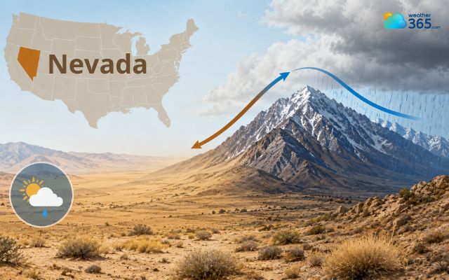
Nevada is the driest state in the US
Arizona
Annual precipitation: 13.6 inches (345 mm).
Driest month: June.
Feature: Arizona has a bimodal rainfall pattern, with winter Pacific storms and the North American Monsoon bringing most summer rainfall, while deserts and mountains create sharp local differences.
Arizona is famous for its desert landscapes and extremely dry climate. Southern Arizona, especially areas near Yuma and Phoenix, receives very little rainfall annually.
Although the state experiences a summer monsoon season, most storms are short and localized.
Long periods of sunshine, low humidity, and high temperatures make Arizona one of the driest states in America.
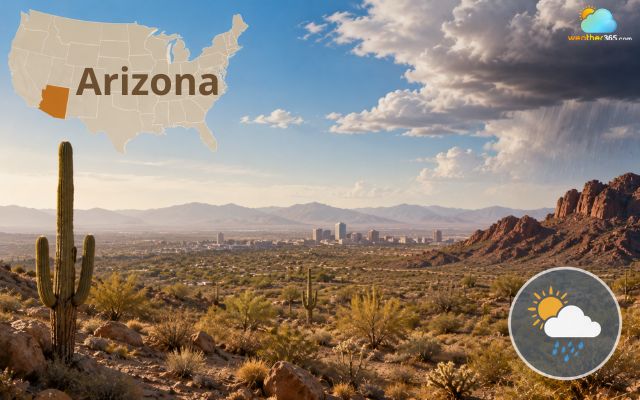
Arizona is known for its dry climate
Utah
Annual precipitation: 12.2 inches (310 mm).
Driest month: June.
Feature: The Sierra Nevada rain shadow and the Great Basin's dry climate keep most of Utah arid, although southern mountains receive summer monsoon moisture.
Utah has a mostly semi-arid to desert climate, especially in its western and southern regions. The state’s dry conditions are influenced by surrounding mountain ranges that reduce incoming moisture.
Utah also experiences large temperature swings between day and night because dry air holds less heat.
While mountain areas can receive snow during winter, much of the state remains dry overall.
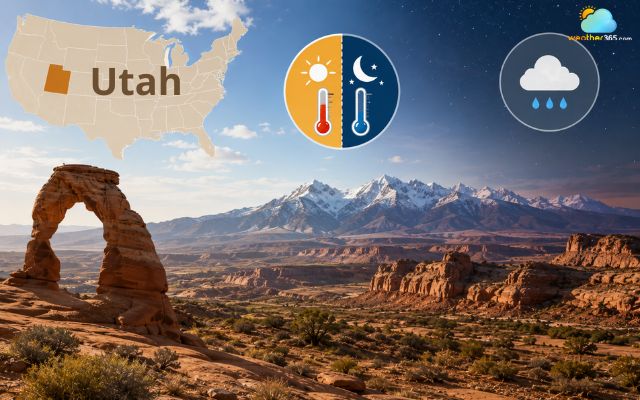
Utah’s dry conditions are due to surrounding mountain ranges
New Mexico
Annual precipitation: 14.6 inches (371 mm).
Driest month: April.
Feature: Most rainfall arrives during the North American Monsoon, while high elevation, inland location, and mountain terrain create large precipitation differences across the state.
New Mexico combines high deserts, plateaus, and mountain terrain, all of which contribute to limited rainfall.
The state receives most of its precipitation during brief summer thunderstorms linked to the Southwest monsoon.
Outside of that season, conditions are usually dry and sunny. The low humidity and open desert landscapes are major characteristics of New Mexico’s climate.
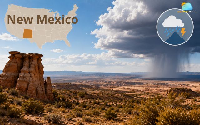
New Mexico is usually dry and sunny
Wyoming
Annual precipitation: 15.9 inches (404 mm).
Driest month: January.
Feature: The Rocky Mountains strongly influence precipitation, with wet mountain slopes and dry rain-shadow basins creating wide climate variations.
Wyoming may not look as dry as Southwestern desert states, but it still ranks among the driest in the US. Large areas of the state are classified as semi-arid, especially in central and southern Wyoming.
The Rocky Mountains affect how moisture moves across the region, leaving many lower-elevation areas with relatively little rainfall each year.
Winters can be cold and snowy, but total precipitation remains low compared to most other states.
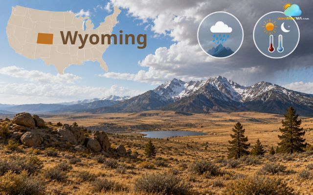
Wyoming ranks among the driest in the US
Average Amount of Rainfall 2026
Average annual rainfall varies greatly across the United States, from less than 10 inches (254 mm) in the driest desert states to more than 60 inches (1,524 mm) in the wettest tropical and Gulf Coast regions.
The national average is approximately 30 inches (762 mm) of precipitation per year, although local climates differ significantly.
The table below shows the U.S. average precipitation alongside the annual averages for some of the driest and wettest states, based on long-term climate data.
Category | Average annual precipitation |
U.S. average | ~30 inches (762 mm) |
Nevada | 9.5 inches (241 mm) |
Arizona | 13.6 inches (345 mm) |
Utah | 12.2 inches (310 mm) |
New Mexico | 14.6 inches (371 mm) |
Wyoming | 15.9 inches (404 mm) |
Note: These figures are long-term climate averages and can vary from year to year depending on weather patterns such as El Niño, La Niña, tropical storms, and droughts.
Top Driest US cities
Some of the driest cities in the United States are located in desert regions of the Southwest, where rainfall is extremely limited and sunny weather dominates most of the year.
These cities are known for low humidity, hot summers, and very few rainy days annually.
- Yuma, Arizona
Yuma is often ranked as the driest city in the US.
The city receives only a few inches of rainfall per year and enjoys sunshine for the majority of days annually.
Its location in the Sonoran Desert keeps conditions hot and extremely dry.
- Las Vegas, Nevada
Las Vegas averages roughly 4 to 5 inches of rain each year.
The surrounding Mojave Desert creates a very arid climate with long dry periods, intense summer heat, and limited cloud cover.
- Phoenix, Arizona
Phoenix receives around 8 inches of rainfall annually, making it one of the driest major cities in America.
Most rain arrives during short monsoon storms in late summer, drastically altering the local probability of precipitation for a few weeks, while the rest of the year remains mostly dry and sunny.
- Reno, Nevada
Reno sits near the Sierra Nevada mountains, where the rain shadow effect significantly reduces precipitation.
The city experiences dry weather for much of the year along with relatively low humidity levels.
- Farmington, New Mexico
Farmington has a semi-arid climate with low annual precipitation and many sunny days.
Its desert surroundings and higher elevation contribute to dry air and noticeable temperature swings between day and night.
- El Paso, Texas
El Paso is one of the driest cities in Texas, receiving limited rainfall throughout the year.
The city’s desert environment and proximity to New Mexico create consistently dry conditions.
- Tucson, Arizona
Tucson shares a similar desert climate with Phoenix but typically experiences slightly cooler temperatures due to its higher elevation.
Rainfall is still very limited outside the summer monsoon season.
- Boise, Idaho
Boise may surprise some people by appearing on this list, but the city has a relatively dry climate because surrounding mountains block much of the incoming Pacific moisture.
- Salt Lake City, Utah
Salt Lake City receives less rainfall than many major US cities.
The nearby mountains influence weather patterns and help create dry conditions across much of the region.
- Albuquerque, New Mexico
Albuquerque has a high-desert climate with low humidity and modest rainfall totals.
Most precipitation occurs during brief summer storms, while the city stays dry for much of the year.
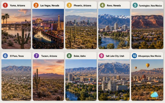
The driest US cities are located in desert regions of the Southwest
Wrapping up
Which US states has the least rainfall? Nevada remains the driest state, followed closely by Arizona, Utah, and New Mexico. From desert valleys to mountain rain shadows, these regions showcase some of America’s harshest dry climates. Understanding these weather patterns helps explain why the western United States continues to face long-term drought challenges.
Frequently Asked Questions (FAQs)
Related post
What is probability of precipitation? Explain 20-50-80% chance of rain
 318
318
 10
10
 4.8
4.8
 13/08/2026
Where is the wettest place in the United States? Top rankings (Updated)
119
8
4.9
18/08/2026
What month does it rain the most in the US? Wettest season by region
80
8
4.9
04/09/2026

8 Comment
Tyler Barrett
One thing I found interesting is how mountains and surrounding terrain can influence where precipitation falls. Geography really does have a huge say in a state’s climate.
Dylan Martin
Looking at rainfall by state makes me realize how misleading a national average can be. The weather experience can be completely different depending on where you actually live.
Justin Thompson
Why are some areas east of mountain ranges especially dry?
weather365
Mountains can force moist air to rise and release precipitation on one side, leaving drier air descending on the other side, creating a rain-shadow effect.
Leonardo Allen
Does having little rainfall automatically mean a state has a desert climate?
weather365
No. Some areas with low precipitation can have semi-arid or other dry climates rather than being classified as deserts.
Luka Patterson
Why can a dry state still experience occasional intense rainfall?
weather365
Dry climates can still receive short periods of heavy precipitation when strong weather systems, thunderstorms, or tropical moisture move into the area.
Leave a comment
Your email address will not be published. Required fields are marked *