




Tropical Storm Fay Forms in Atlantic Amid Record Hurricane Drought


MIAMI — Tropical Storm Fay formed in the northern Atlantic Ocean early Sunday, according to the National Hurricane Center. The system was located 450 miles southwest of the Azores, packing maximum sustained winds of 45 mph. Forecasters expect short-term strengthening, but the storm poses no threat to land and no coastal warnings are currently in effect.

Tropical Storm Fay just formed in the Atlantic
Current Status & Forecast Track of Tropical Storm Fay
Tropical Storm Fay developed from Tropical Depression Six over open Atlantic waters.
As of the latest advisory from the National Hurricane Center, the storm is moving slowly north-northeast at 3 to 5 mph.
Satellite imagery shows convection organizing around the center of the system, helping it build strength.
Meteorologists expect Fay to intensify slightly over the next 24 to 36 hours. Maximum sustained wind speeds could reach near 60 mph as the system drifts over warm water.
Explore more: How to measure wind speed?
However, favorable conditions will not last long.
By early next week, a strong dip in the jet stream will steer the system southward into a hostile environment. Increased wind shear and dry surrounding air will weaken the storm rapidly.
Forecasters expect Fay to degenerate into a remnant low before completely dissipating over the open sea by the end of the week.

Tropical Storm Fay developing over open waters in the North Atlantic Ocean (Source: Weather Impact)
Zero Land Threat to Florida and the US Mainland
Residents along the U.S. East Coast can rest easy.
Tropical Storm Fay is located more than 2,700 miles away from Florida and poses no threat to the United States mainland.
The National Hurricane Center has issued no coastal watches or warnings. The storm will spend its entire life cycle over open ocean waters, far from inhabited coastlines.
Local emergency managers confirm that shipping lanes are the only areas likely to experience minor disruptions from rough seas.
While parts of Florida face localized downpours and flash flooding this week, weather experts emphasize those heavy rains stem from separate regional weather patterns, not Tropical Storm Fay.
Upper-level steering currents will keep the storm trapped far out in the central Atlantic basin.

Tropical Storm Fay is forecast to pose no threat to the mainland
Planning outdoor activities in Florida? Check real-time precipitation levels for Miami to stay prepared!
Record-Breaking Hurricane Drought in the 2026 Atlantic Season
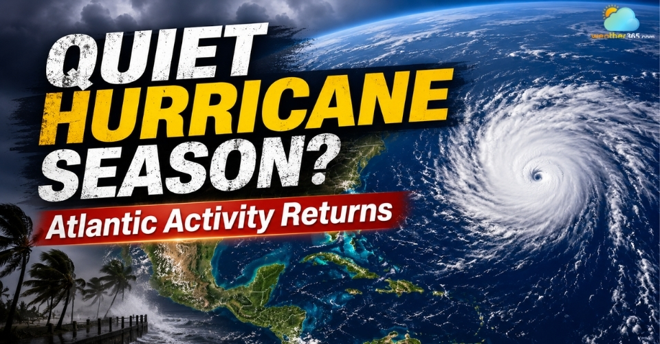
Although Tropical Storm Fay marks the sixth named system of the season, it highlights a much broader trend: an unusually quiet Atlantic Ocean.

Hurricane season 2026 remains quiet
The basin has set a modern record for the latest start to hurricane activity since satellite tracking began in 1960.
As late September approaches, the region has yet to produce a single hurricane with winds exceeding 74 mph.
Meteorologists attribute this historical calm primarily to a brewing Super El Nino. This global atmospheric pattern generates intense upper-level wind shear across the tropical Atlantic.
Strong vertical winds shear off the tops of developing tropical storms before they can mature into hurricanes.
Continue reading: Why the 2026 hurricane season has been so quiet?
In contrast, El Nino conditions have fueled a hyperactive Pacific season, launching multiple major hurricanes toward Hawaii and impacting the U.S. West Coast.
While Atlantic conditions remain unfavorable for major storms, officials remind coastal communities that the hurricane season runs through November 30.
Residents should continue monitoring regular updates from the National Hurricane Center as conditions evolve.
💨 Stay ahead of coastal weather shifts: Monitor wind speed and severe weather warnings for East Coast communities at Weather365.
References
FOX Weather
AP News
WPBF
ABC News
Related post

Tropical Storm Norbert Forms in Pacific, Eyes Hurricane Strength
 535
535
 0
0
 5.0
5.0
 10/09/2026

When is hurricane season in the Atlantic Ocean and Pacific Ocean? Key dates
164
8
5.0
06/08/2026
Hurricane Season Update: 2 Systems Being Monitored as Peak Season Nears
88
0
4.6
20/09/2026

0 Comment
Leave a comment
Your email address will not be published. Required fields are marked *