




Early-Season Northeast Snow Storm Triggers Major Weather Shifts


A Northeast snow storm could bring the season’s first accumulating snowfall to parts of New England and the inland Northeast from Thursday through Saturday. A developing nor’easter and colder air from Canada may bring snow, rain and gusty winds, although the storm’s track remains uncertain. Here’s the latest forecast.
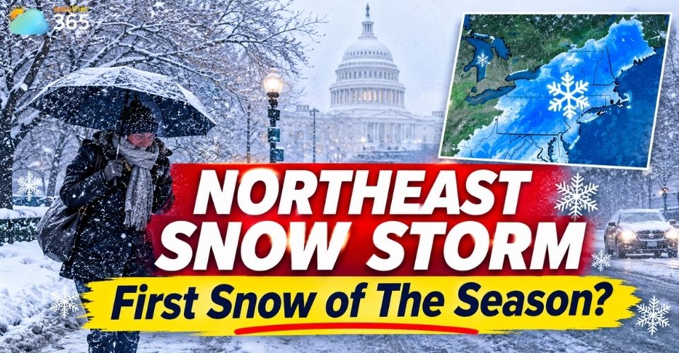
Northeast snow storm
Northeast Snow Storm: Key Points
A potential nor'easter could approach the East Coast Thursday–Saturday.
Inland New England and higher elevations have the best chance of accumulating snow.
NYC, Philadelphia and Boston are more likely to see rain.
Canadian cold air could push temperatures below freezing across parts of the East.
Northeast Snow Storm Threatens the East Coast
A developing weather system could strengthen into a nor'easter later this week as colder Canadian air and additional energy move into the eastern United States.
Read more: What is a Nor’easter
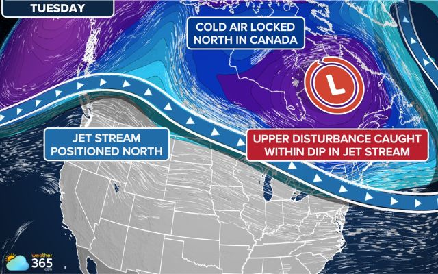
Cold air from Canada is heading to the eastern US (Photo: FOX Weather)
The system is expected to organize over the Ohio Valley late Wednesday before moving toward the Mid-Atlantic and Northeast by Thursday.
Forecast models currently show two possible storm tracks.
In the first scenario, the initial low-pressure system moves inland across the Ohio Valley and eastern Great Lakes before transferring its energy offshore, allowing a secondary coastal low to develop.
This setup could keep much of the immediate coast relatively dry while bringing snow to inland and higher-elevation areas.
Another scenario suggests the storm could develop closer to the East Coast, increasing the potential for heavy rain and gusty winds along coastal communities.
However, a track farther offshore could push precipitation away from the region and reduce overall impacts.
The system is expected to spread widespread rain across parts of the East on Thursday, with its strongest development potentially occurring on Friday.
By Saturday, it should move toward Canada, although some lingering precipitation may remain across the Northeast.
First Snowfall Forecast: Which Areas Will Be Impacted?
The best chances for accumulating snow are expected across inland locations and higher elevations, where colder temperatures could support wintry precipitation.
Area | Potential impact |
Higher snow potential | |
Upstate New York | First snowflakes possible |
Poconos, Catskills, Berkshires | Potential mountain snowfall |
Mainly rain |
Northern New York, Vermont, New Hampshire and Maine are among the areas most likely to see the season's first accumulating snowfall.
Snow could also extend south into the Appalachians, including mountainous areas of Pennsylvania and surrounding states.
Pittsburgh, Syracuse and Binghamton could see their first snowflakes of the season.
The Poconos, Catskills and Berkshires are also being monitored for potential snowfall as the storm develops.
However, major coastal cities may experience a different outcome.
New York City, Philadelphia and Boston are expected to remain too warm for significant snow accumulation.
Rain is more likely, as relatively mild surface temperatures and warmer Atlantic air could prevent snow from sticking.
Check local temperature, precipitation and snowfall-related weather indicators for Pittsburgh to follow changing conditions as the system approaches.
The final snowfall outlook will depend heavily on the storm's track, available cold air and elevation.
Even small changes in these factors could shift the areas most likely to receive accumulating snow.
Canadian Cold Air Wave Brings a Sharp Temperature Drop
Beyond the potential snowfall, a stronger surge of Canadian air is expected to bring a significant temperature drop across the eastern United States beginning late Friday.
High temperatures could fall into the 30s and 40s°F across parts of the Northeast, Great Lakes and Ohio Valley, while overnight lows may drop into the 20s°F.
This could bring several nights of near- or below-freezing conditions to areas that have remained relatively mild through early November.
The cold air may also spread farther south by Sunday, reaching parts of the Gulf Coast and Florida.
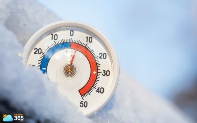
Sharp temperature drop expected in the Eastern US this Friday
Nashville and Knoxville in Tennessee, Huntsville in Alabama, and northern suburbs of Atlanta could experience temperatures near or below freezing, potentially ending the growing season in some locations.
Meanwhile, the western United States is expected to remain warmer and drier, with parts of California, the Great Basin and the Southwest potentially seeing temperatures 10–20 degrees above average.
As the storm track and temperature outlook continue to evolve, residents across the Northeast should monitor updated forecasts.
Stay updated on the latest weather changes on Weather365!
References
FOX Weather
Accuweather
Related post
Polar Vortex Split Forecast Signals an Unusual Winter 2026–2027
 2111
 0
 4.7
 05/11/2026
Worst snowstorm in U.S. history: Dates, Locations, and Record Impacts
1542
8
4.7
01/04/2026

Record Low Snow in Colorado Triggers Dramatic Glacier Thinning
36
0
4.8
28/10/2026

0 Comment
Leave a comment
Your email address will not be published. Required fields are marked *