



Severe Storm Hitting Arizona Triggers Tornado Warnings and Golf-Sized Hail


The storm hitting Arizona brought large hail, strong winds, and rare tornado warnings across parts of the state on Wednesday, October 21. The severe weather damaged homes and vehicles, while heavy rain raised concerns about flash flooding. More storms could keep parts of Arizona at risk.
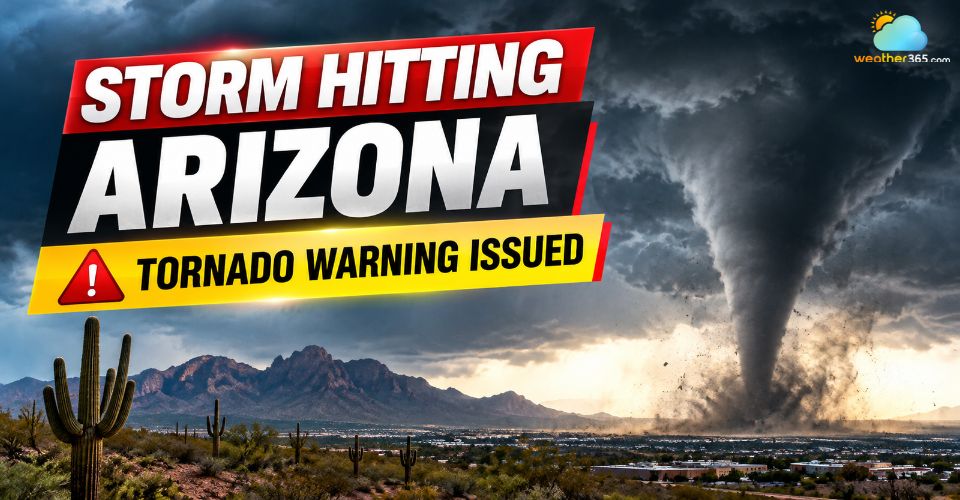
Storm hitting Arizona
Storm Hitting Arizona Brings Golf Ball-Sized Hail and Tornado
A powerful storm system swept across northern and central Arizona overnight from Tuesday into Wednesday, bringing intense thunderstorms and dangerous weather conditions.
The National Weather Service issued multiple alerts as large hail, damaging winds and possible tornadoes threatened communities across the state.
Some areas experienced hail measuring 2 to 3 inches across, large enough to break windows, damage roofs and leave dents in vehicles.
Strong winds also brought down large trees in Flagstaff, Mesa and the Coconino National Forest.
The event was unusual for Arizona in October. According to the Associated Press, the state had not seen a tornado watch since October 6, 2010.
Meteorologists attributed the severe conditions to warm, moist air moving north from the south, combined with changing wind patterns that helped fuel powerful thunderstorms.

Large hail is reported across northern and central Arizona
Which Areas in Arizona Were Hit Hardest by the Storm?
Flagstaff and surrounding communities in northern Arizona faced some of the most dangerous conditions.
Residents reported heavy rain, thunder, lightning and hail ranging from pea-sized to marble-sized in Pine and Strawberry along the Mogollon Rim.
Flagstaff also experienced falling trees and large hail as the storm moved through the region.
Prescott and parts of Yavapai County faced an elevated risk of severe thunderstorms, with a tornado warning issued for part of the county on Wednesday morning.
Meanwhile, Phoenix, Glendale, Chandler and Scottsdale were also under a severe storm threat, although the expected risk level varied by location.
Arizona Location | Reported Storm Impacts |
Large hail, strong winds and fallen trees | |
Thunderstorms, heavy rain and hail | |
Severe storm threat and tornado warnings | |
Risk of severe thunderstorms and flash flooding |
Flood Threat and Severe Weather Concerns Continue
Heavy rainfall remained a major concern as the storm system moved across the Southwest.
A Flood Watch covered much of Arizona through Thursday, October 22, with additional thunderstorms possible as the system shifted toward the Rocky Mountains.
The main concern for the Phoenix metropolitan area was flash flooding caused by intense rainfall.
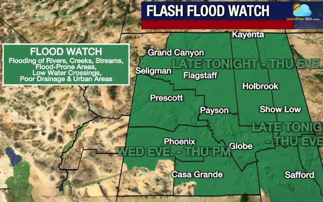
A flash flood watch is issued for much of Arizona (Photo: FOX 10)
Meteorologists also pointed to the potential development of a Super El Niño as a possible sign of a more active winter storm pattern across the southern United States.
During strong El Niño events, shifts in the jet stream can direct more storms toward the region, increasing the risk of heavy rain and severe weather.
However, the strength and impacts of any future El Niño remain uncertain.
Residents should monitor official weather alerts, stay away from windows during severe storms and never drive through flooded roads.
To prepare for changing conditions, check Arizona’s 7-day weather forecast for upcoming rainfall, temperature changes and local precipitation forecasts.
References
FOX Weather
AP News
FOX10 Phoenix
Related post

Flooding in Istanbul Disrupts Roads, Schools and Emergency Services
 850
 0
 4.7
 16/10/2026

Super Typhoon Champi Officially Claimed as the Strongest Storm of 2026
492
0
4.8
21/10/2026
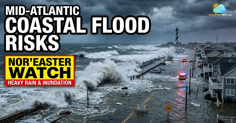
October Nor'easter Triggers Severe Mid-Atlantic Coastal Flooding
40
0
4.7
20/10/2026

0 Comment
Leave a comment
Your email address will not be published. Required fields are marked *