




Queensland Severe Thunderstorms Bring New Hail Risk on Thursday


Queensland severe thunderstorms could return on Thursday, November 12, bringing large hail, damaging winds and flash flooding to southeast areas. The renewed threat follows destructive storms on Wednesday that damaged homes, brought down trees and left tens of thousands of properties without power.
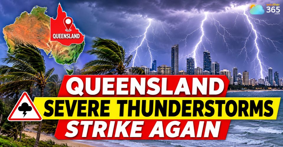
Queensland severe thunderstorms
Severe storms leave widespread damage across Queensland
Severe thunderstorms battered southeast Queensland on Wednesday afternoon and evening, bringing destructive winds, torrential rain and large hailstones to several communities.
Logan was among the hardest-hit areas, with more than 43,000 households losing electricity at the height of the storms.
As of Thursday morning, around 55,000 properties across the region remained without power, with Energex warning that extensive damage to power poles and lines could make repairs a lengthy process.
Brisbane and surrounding suburbs also experienced significant impacts.
Fallen trees damaged vehicles and blocked roads, while strong winds tore roofs from homes and damaged residential properties.
In Wongawallan, a house caught fire following a lightning strike, while a building under construction collapsed in Heritage Park.
The storms also produced more than 120,000 lightning strikes, according to Energex, while emergency services received over 300 requests for assistance.
Eleven schools in the Logan area remained closed on Thursday as authorities assessed storm damage and worked to ensure safe conditions.
Wind gusts reached 96 km/h at Brisbane Airport, while some locations recorded between 60 and 80 mm of rainfall, highlighting the intensity of the storm system.
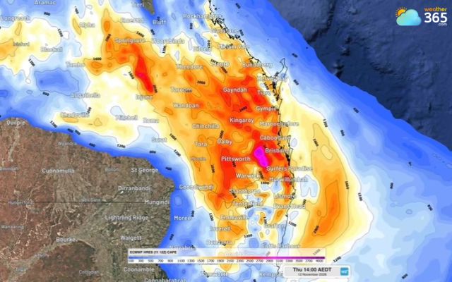
Eastern Australia on modelled CAPE on Thursday, Nov 12 (Photo: Weatherzone)
Latest weather updates
Queensland severe thunderstorms threaten region again on Thursday
The threat is not over, with another round of thunderstorms expected across eastern Australia on Thursday.
Southeast Queensland and northeast New South Wales face the greatest risk of severe weather, particularly during the afternoon and early evening.
The BoM warned that storms could develop across a broad area stretching from the Wide Bay and Burnett district in Queensland to the Northern Rivers and Northern Tablelands in New South Wales.
Inland communities are expected to face the highest storm risk, although some cells could also move towards coastal areas.
The main hazards include:
Large hail: Some storms could produce large or potentially giant hailstones capable of damaging vehicles, roofs and outdoor property.
Damaging winds: Powerful gusts could bring down trees and powerlines, creating additional hazards for communities already dealing with storm damage.
Heavy rainfall: Intense downpours could trigger flash flooding, particularly in low-lying areas and locations that receive repeated storms.
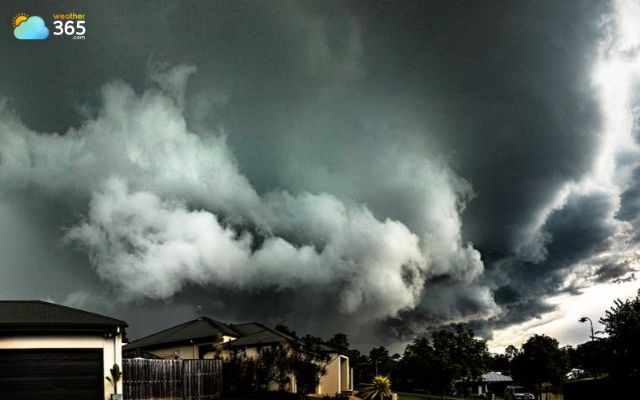
Eastern Australia faces another round of thunderstorm (Photo: Dangerous Trouble Photography)
Forecast models indicate that atmospheric instability could reach CAPE values of around 2,500–3,500 J/kg across parts of southeast Queensland and northeast NSW.
These conditions can support the development of intense thunderstorms and potentially supercells.
Read more: What is a supercell thunderstorm
However, high CAPE values indicate storm potential rather than guaranteeing severe weather.
The Gold Coast, Brisbane, Sunshine Coast and Bundaberg are among the Queensland areas being monitored for further storm activity.
The BoM also warned that tropical moisture remaining along the east coast could support additional thunderstorms.
Looking beyond Thursday, unsettled weather is expected to continue across parts of Queensland and NSW through at least Monday, November 16.
Storm activity may ease on Friday before increasing again over the weekend as another surface trough develops inland.
Residents should monitor updated BoM warnings and local radar throughout the day, as storm locations and intensity can change quickly.
Practical safety recommendations during severe thunderstorms Residents across southeast Queensland should take precautions before and during storms:
Follow the latest warnings from the Bureau of Meteorology and emergency services for updates in your area. |
Stay updated on the latest weather changes in Weather365!
References
Weatherzone
News24
9 News Melbourne
News.com.au
Related post
Latest Nor'easter Forecast: Northeast Faces Rain, Mountain Snow and a Cold Blast
 204
 0
 4.8
 11/11/2026

Severe Storms and Flash Flooding South Texas Trigger State Emergency Response
108
0
4.6
10/11/2026

Iraq Flash Floods Cause Severe Damage Across Erbil
17
0
5.0
10/11/2026

0 Comment
Leave a comment
Your email address will not be published. Required fields are marked *