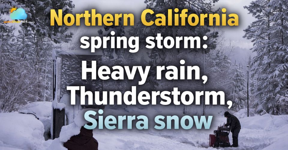
Northern California spring storm: Heavy rain, Thunderstorm, Sierra snow
A powerful spring storm system is set to impact Northern California, bringing multiple waves of rain, thunderstorms, and Sierra Nevada snow from Friday through the weekend.
The most active and potentially hazardous weather is expected to develop late Friday and continue into Saturday night, before gradually easing by Sunday.
Across the Sacramento region, unsettled weather will likely already be in place by Friday morning, with periods of rain and scattered thunderstorms.
However, the most intense activity is forecast to develop from the afternoon into the evening hours.
Northern California spring stoem
During this time, conditions may support stronger storm cells capable of producing frequent lightning, gusty winds, and bursts of hail. In fact, early reports have already indicated hail as large as ping-pong balls and lightning strikes in areas including Sacramento, Modesto, Elk Grove, and Solano County.
Forecasters note that any breaks of sunshine during the early to mid-afternoon could play a key role in storm development. Increased sunshine would allow the atmosphere to become more unstable, raising the likelihood of stronger or even severe thunderstorms.
On the other hand, if cloud cover remains widespread, the region will more likely see steady rain with embedded thunderstorms, along with a few isolated stronger cells.
Storm activity has already been significant, with approximately 3,000 cloud-to-ground lightning strikes recorded across Northern California on Thursday alone, highlighting the energy within this system.
Residents throughout the Central Valley should be prepared for a range of storm hazards, including gusty winds, brief but intense downpours, lightning and small hail.
These conditions could create hazardous travel, with slick roads, reduced visibility and areas of standing water or ponding on roadways.
The unsettled pattern will persist into the weekend as a more organized and moisture-rich storm system moves inland. Meteorologists expect multiple lines of storms to push onshore, with Saturday evening shaping up to be the most impactful period.
This stronger system could bring prolonged periods of intense rainfall, increasing the risk of localized flooding, especially in low-lying or poor drainage areas. Embedded thunderstorms may also produce isolated strong wind gusts.
The San Francisco Bay Area is also expected to feel the effects of this system, with steady rain and breezy to windy conditions developing through Saturday.
Rainfall totals of around three-quarters of an inch are possible by Saturday night, though locally higher amounts cannot be ruled out.
Thunderstorm chances will increase late Saturday into early Sunday morning as the center of the system tracks eastward across the region.
In the Sierra Nevada, this storm is expected to deliver significant winter weather impacts despite the spring season. Conditions will deteriorate rapidly as colder air moves in, causing snow levels to drop quickly.
Near Donner Pass, snowfall totals could reach around two feet, while higher elevations may see as much as four feet of accumulation. Even lower elevations could pick up snow, with 2 to 6 inches possible down to roughly 4,000 feet.
In addition to the mountain snow, heavy precipitation is expected across lower elevations. Valley locations could receive up to two inches of rain, while foothill communities such as Grass Valley may see totals approaching five inches, raising concerns about runoff and localized flooding.
Overall, waves of heavy rain and Sierra snow are expected to continue through Sunday, keeping conditions wet and at times hazardous. By late Sunday and into early next week, the storm system is forecast to move out of the region, allowing for gradual clearing and improving weather conditions across Northern California.
Survival tips in thunderstorms During a thunderstorm, seek shelter indoors as soon as possible and avoid open fields, hilltops, tall trees, and metal objects that can attract lightning. Stay away from windows, doors, and plumbing, and unplug electronic devices to prevent damage from power surges. If you are driving, reduce speed, turn on headlights, and never attempt to drive through flooded roads, as water depth can be deceptive and dangerous. If outdoors with no shelter, crouch low with minimal contact with the ground rather than lying flat. Keep an emergency kit with a flashlight, extra batteries, water, snacks, and a fully charged phone. Stay informed through weather alerts and wait at least 30 minutes after the last thunder before going outside again. ===> Learn more survival tips in “How to survive a thunderstorm?” |
0 Comment
Leave a comment
Your email address will not be published. Required fields are marked *