




New Mexico Tornado Watch Issued for Western Counties


A New Mexico tornado watch was issued for six western counties on Thursday, October 22, 2026, as severe storms threatened the region with possible tornadoes, large hail and damaging winds. The alert came as heavy rain raised concerns about flash flooding. Forecasters warned that storms could spread eastward, putting more communities at risk.
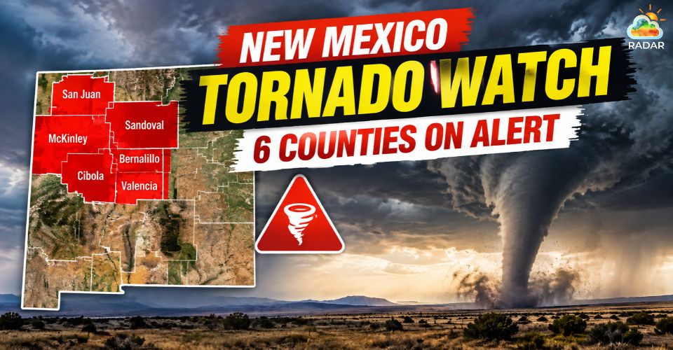
New Mexico tornado watch issued
Where Is the New Mexico Tornado Watch in Effect?
The Tornado Watch covered San Juan, Catron, Cibola, Grant, Hidalgo and McKinley counties in western New Mexico.
Communities potentially affected included Farmington, Crownpoint, Gallup, Grants, Silver City, Lordsburg, Reserve and Zuni Pueblo.
The watch was issued Thursday morning and was initially expected to remain in effect through the evening.
Continue tracking local New Mexico weather changes to stay alert!
Forecasters warned that storms developing within or near the watch area could produce a few tornadoes, large hail and damaging wind gusts.
A separate Tornado Warning was issued Thursday afternoon for Sandoval, Cibola and McKinley counties until 3:15 p.m. MDT.
At the time, a severe thunderstorm capable of producing a tornado was located near Cebolletita, about 12 miles north of Laguna Pueblo, and moving northeast at 40 mph.
The two alerts carry different levels of urgency.
A Tornado Watch means conditions are favorable for tornadoes, while a Tornado Warning indicates that a tornado has been detected or that radar shows signs of one developing.
Feature | Tornado Watch | Tornado Warning |
Meaning | Conditions are favorable for tornadoes. | A tornado has been spotted or indicated by radar. |
Risk level | Be prepared. | Take shelter immediately. |
What to do | Monitor weather alerts and identify a safe shelter. | Move to a basement or an interior room on the lowest floor, away from windows. |
Coverage | Usually covers a broad area. | Typically targets a more specific area at immediate risk. |
Continue reading Tornado Watch vs Tornado Warning
Severe Flood and Hail Risks
Tornadoes are possible, but severe thunderstorms could also bring damaging winds and large hail to western New Mexico.
These hazards may threaten homes, vehicles, trees and power lines, particularly where stronger storms develop.
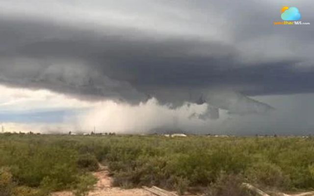
New Mexico faces large hail risks
Heavy rain is another major concern. A surge of tropical moisture from the Pacific, combined with a strong storm system moving across the West, is increasing rainfall potential across the region.
Repeated downpours could cause water to accumulate quickly, especially in low-lying areas and locations with poor drainage.
The threat is not expected to remain confined to western New Mexico.
KOAT's forecast indicated that rain and thunderstorms could shift toward central New Mexico from Thursday into Friday, with rain chances increasing farther east over the weekend.
Localized flash flooding remains possible as the system moves across the state.
Residents should take the following precautions during severe weather to stay safe and respond quickly to changing conditions:
Seek shelter: Move to a basement or an interior room on the lowest floor when a Tornado Warning is issued.
Stay away from hazards: Avoid windows, flooded roads and fast-moving water.
Never drive through floodwater: Even shallow water can sweep away vehicles.
Monitor official alerts: Check National Weather Service updates and follow local emergency instructions.
Continue updating the latest severe weather news on Weather365 Trending News!
References
FOX Weather
KOB
KOAT
Related post

Top 5 Most Dangerous Tornado In The World: SHOCK Statistics
 371
 11
 4.6
 15/09/2026

Essential Tornado Safety Tips You Need to Know Before It’s Too Late
319
9
4.8
15/09/2026

Tornado vs Hurricane: What's the difference? Which is more dangerous?
205
8
4.8
06/05/2026

0 Comment
Leave a comment
Your email address will not be published. Required fields are marked *