

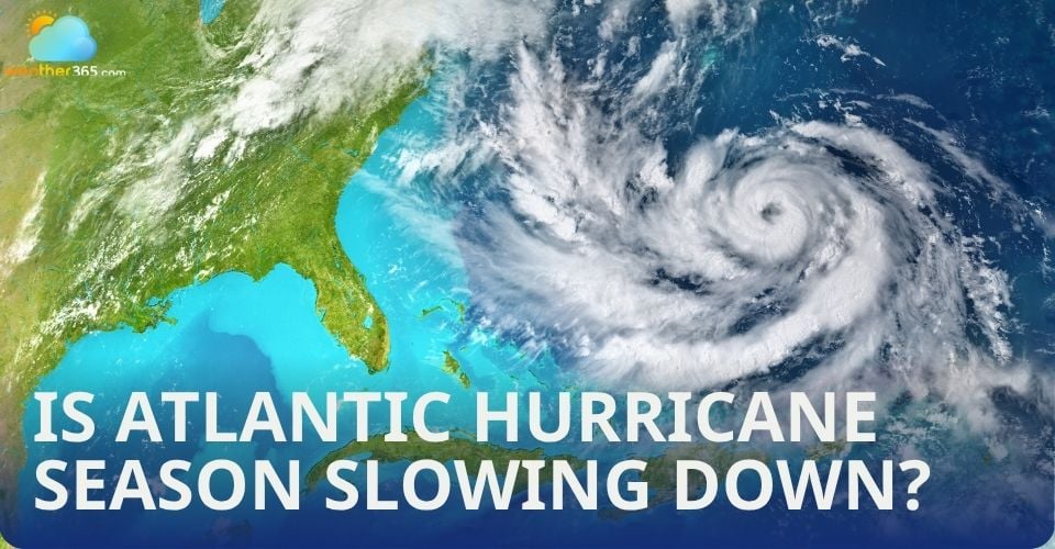
Is Atlantic hurricane season slowing down? Here's what experts say about the delay
The first storms of this year’s Atlantic hurricane season have been brief, bringing mostly rain before fading after reaching tropical storm strength. Although current patterns indicate that July will likely remain quiet, this slow start isn’t expected to last, as forecasts still call for an above-average season ahead.
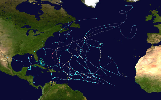
 The hurricane season in the Atlantic
First signs of the Atlantic basin hurricane season 2025
The Atlantic hurricane season started with two brief storms: Andrea on June 24 and Barry on June 29, each lasting less than a day. Both storms brought some rain but quickly dissipated.
Currently, the National Hurricane Center is monitoring an area over Florida that has the potential to develop into a tropical system. Regardless of whether this system receives an official name, it is expected to produce significant rainfall across the Florida peninsula.
In contrast, the Eastern Pacific basin has been more active. Hurricane Flossie, the sixth named storm of the season in that region, is forecasted to pass near southwest Mexico this week. It poses risks of flooding and mudslides due to heavy rains.
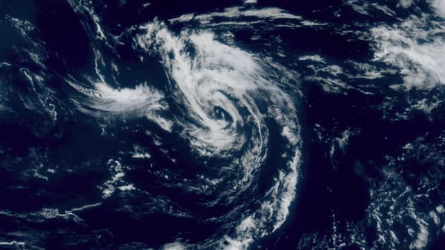
Tropical storm Andrea on June 24
The development of tropical storms involves a balance of factors. While the Atlantic Ocean’s warm waters provide the necessary energy to fuel hurricanes, disruptive winds are currently breaking apart nascent storms before they can strengthen.
Additionally, plumes of Saharan dust are injecting dry air into the atmosphere, further inhibiting storm formation.
Weather models that consider these influences do not predict the emergence of well-organized or long-lasting tropical storms in the Atlantic through at least mid-July.
Overall, despite some early activity and localized rainfall threats, the Atlantic hurricane season remains relatively quiet so far, with conditions suppressing the growth of major storms in the near term. Meanwhile, the Eastern Pacific continues to show more robust tropical activity.
Atlantic hurricane season is behind the schedule, is it normal?
Yest, it is.
July is typically a quieter month in the hurricane season, with an average of only one named storm forming. This year feels especially slow due to the short durations of early storms.
Both the Atlantic and Eastern Pacific basins are expected to remain relatively calm well into July, according to the Climate Prediction Center.
However, any storms that do develop this month could be particularly dangerous because July storms often form in the warm, shallow waters of the Caribbean or Gulf of Mexico, which can lead to rapid intensification and quick landfalls, reducing warning times. Climate change is contributing to hurricanes producing heavier rainfall and intensifying more rapidly than in past decades.
As the season progresses into August, focus shifts to the "main development region" spanning from the west coast of Africa across the central tropical Atlantic, where many late-season and some of the strongest hurricanes originate.
The Atlantic hurricane season typically peaks in mid-September.
For this season, NOAA forecasts 13 to 19 named storms, with 6 to 10 becoming hurricanes, and 3 to 5 potentially reaching major hurricane strength (Category 3 or higher), with a 70% confidence level in this outlook.
NOAA forecasts 13 - 19 named storms in the hurricane season
An unpredictable hurricane season…
Forecasters are accustomed to uncertainty, but this hurricane season faces a new challenge: a critical source of satellite data used to monitor storm intensity is scheduled to be cut off by July 31, reportedly due to cybersecurity concerns.
This data, provided by the Defense Meteorological Satellite Program (DMSP), offers unique microwave imagery that reveals three-dimensional storm structures and internal dynamics, especially valuable during nighttime or when aircraft reconnaissance is unavailable.
NOAA was reportedly caught off guard by the Defense Department’s decision, which was initially set for June 30 but delayed by one month following pressure from NOAA and NASA officials.
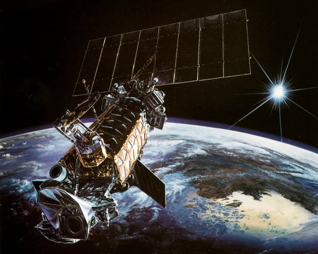
Defense Meteorological Satellite Program was unavailable
The timing is particularly concerning because the peak of hurricane season occurs from mid-August to mid-October, meaning forecasters will lose access to this vital data just as the most active and dangerous months approach.
This loss comes amid other setbacks, including the recent discontinuation of drone boat observations and staffing cuts at NOAA.
Related post

What is the difference between a hurricane typhoon and cyclone? Interesting Explanation

0 Comment
Leave a comment
Your email address will not be published. Required fields are marked *